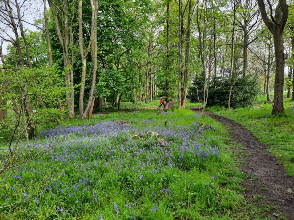
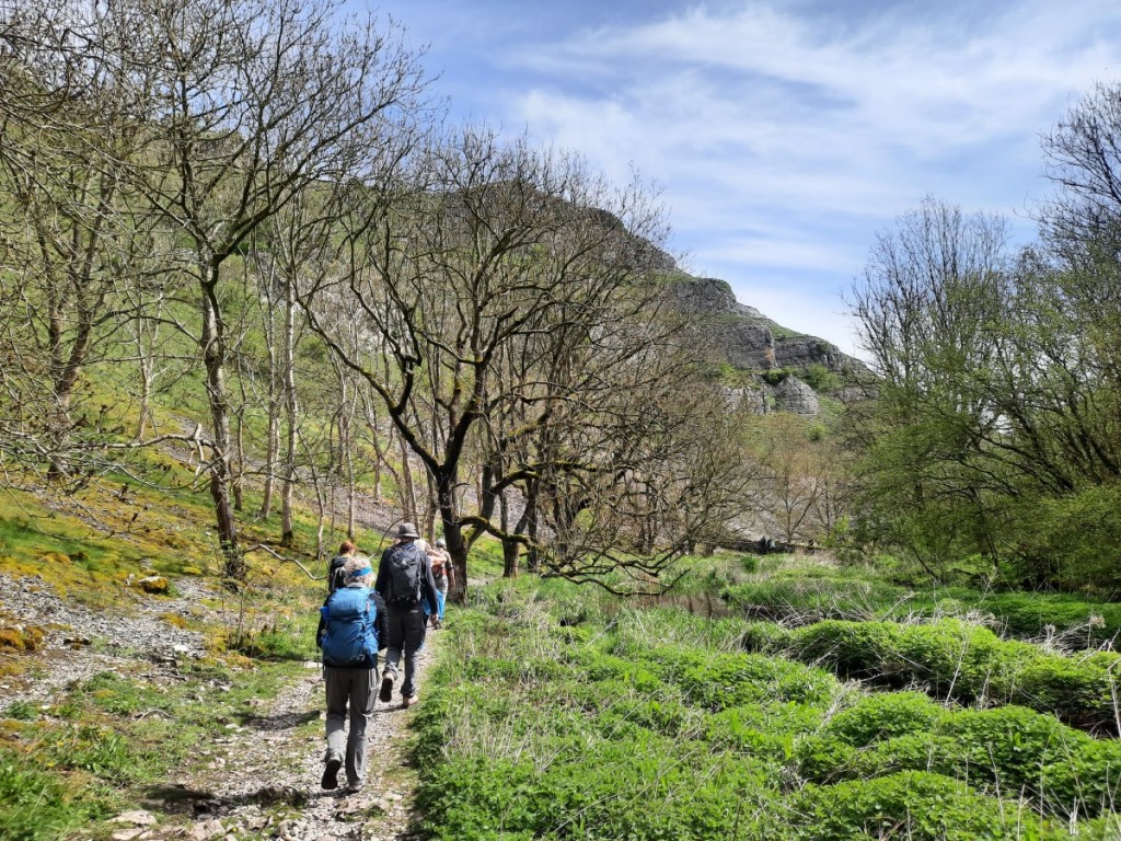
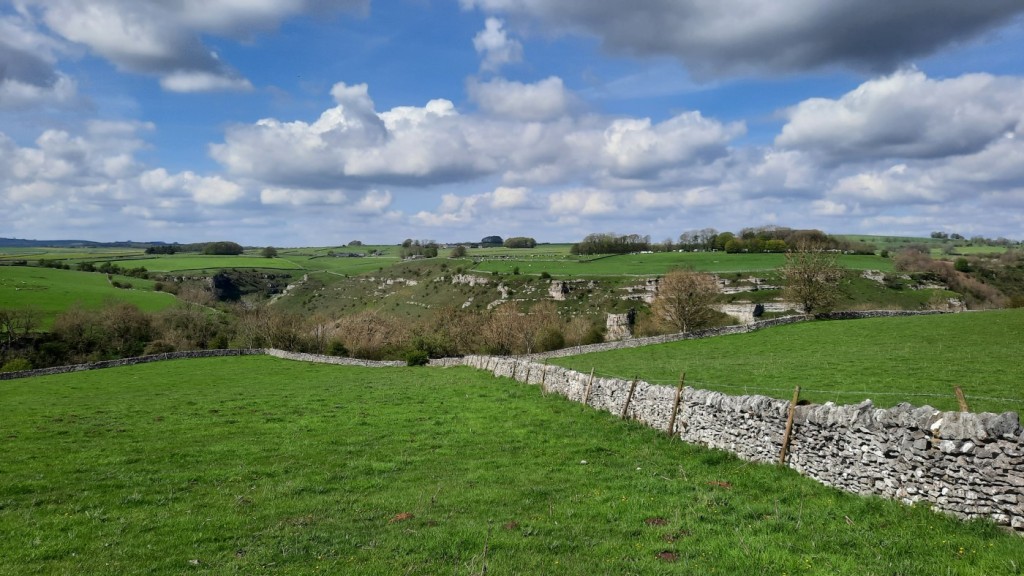
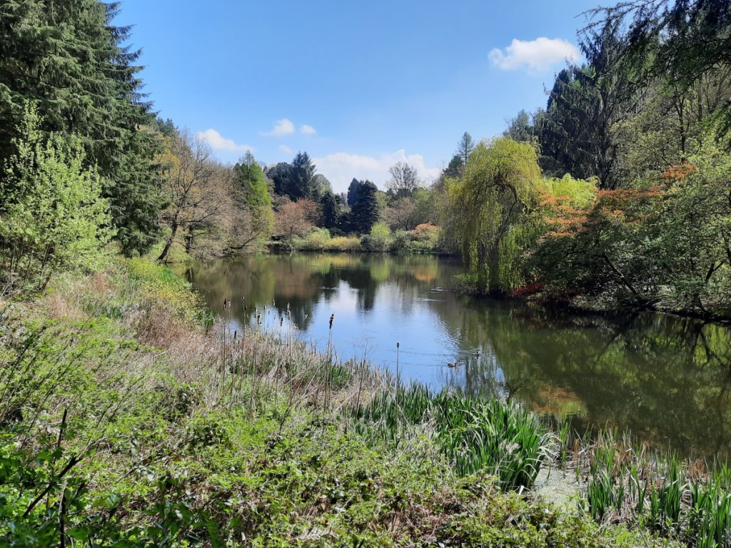
White Peak with Ruth & Josh (4th-5th May 2024)

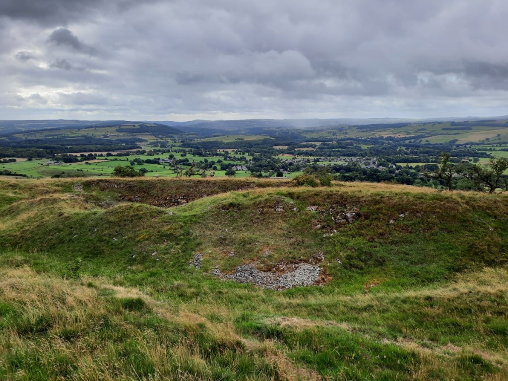
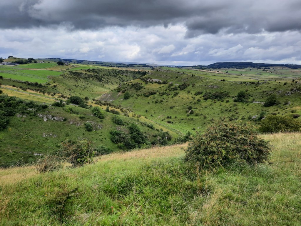
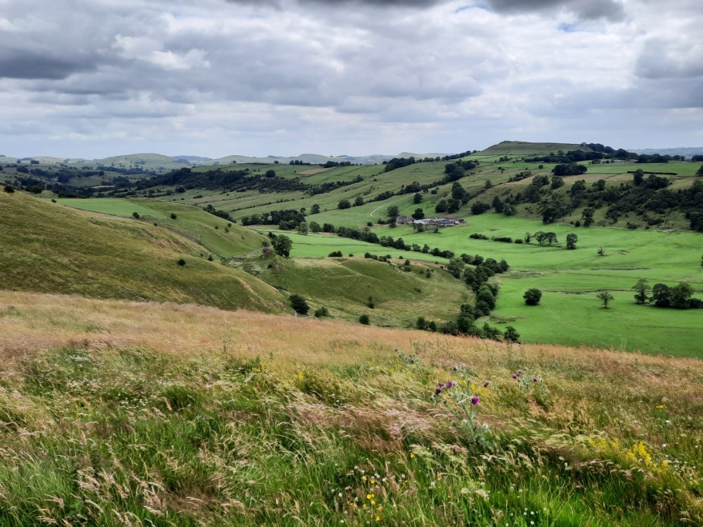
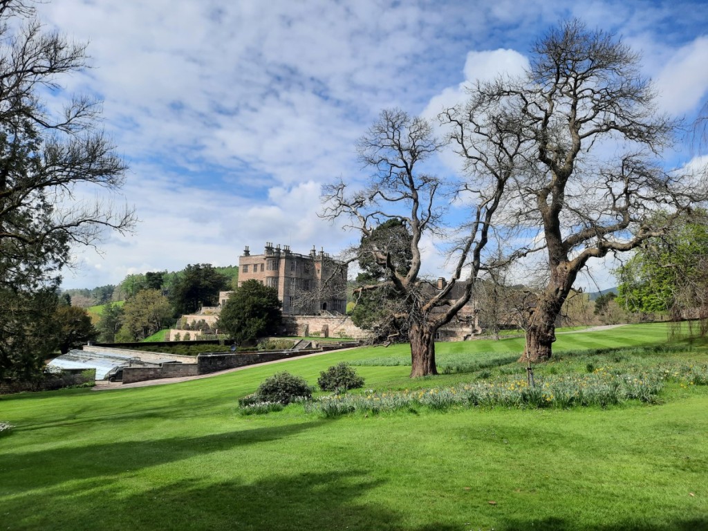
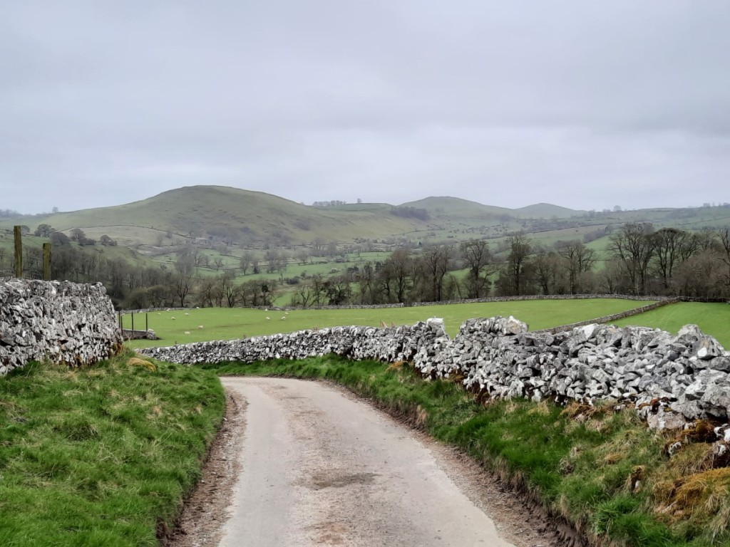
Four weeks after their wedding, the new Mr and Mrs Livesey came down to visit me in Derbyshire for the Saturday and Sunday of the May Day weekend. We met mid-morning on Saturday in Earl Sterndale for a walk over the distinctive “Dragon’s Back” hills. I defined a route that would save the summits for the second half, taking a more northerly (but less scenic) outward route from the village. Dowel Dale gave some good views of Chrome Hill though, and we crossed a very pretty arch bridge over the infant River Dove on the ancient byway between Leycote and Tenterhill.

Looking over Dowel Dale to Chrome Hill
Crossing the River Dove

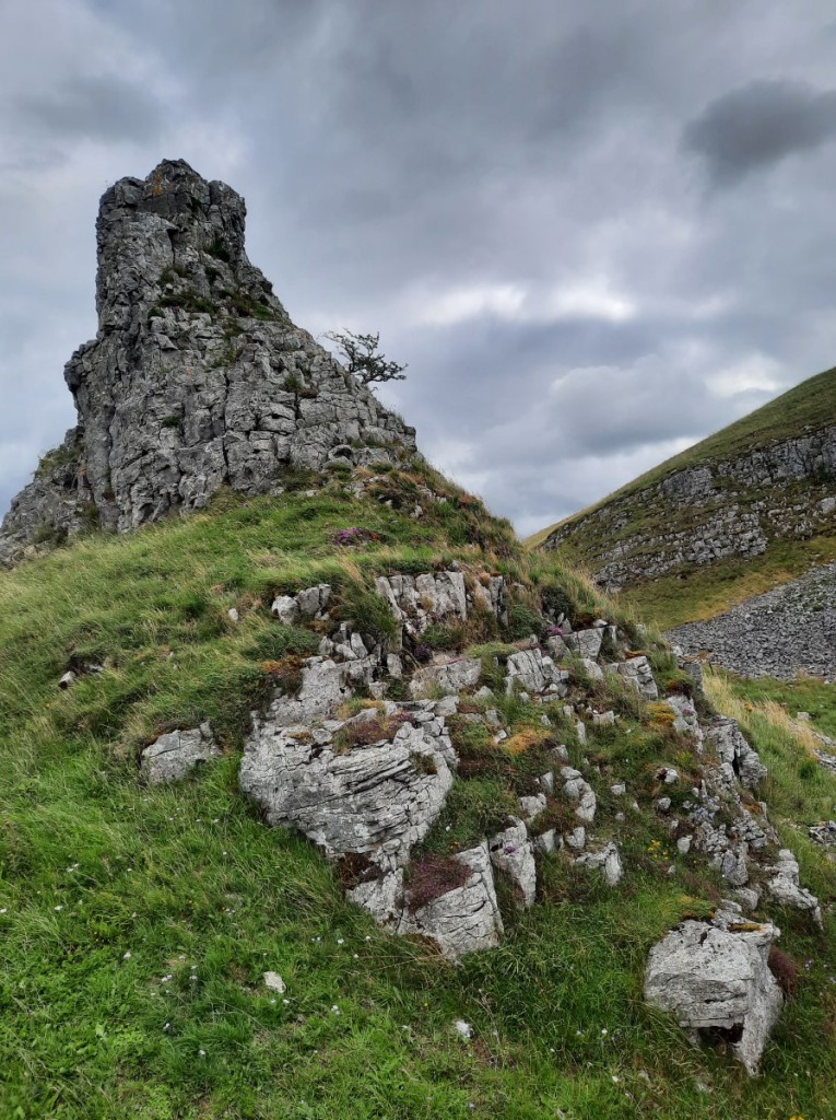
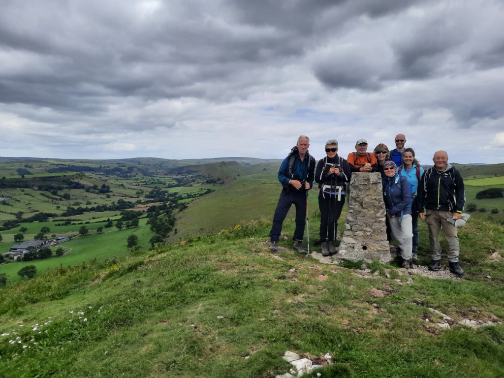
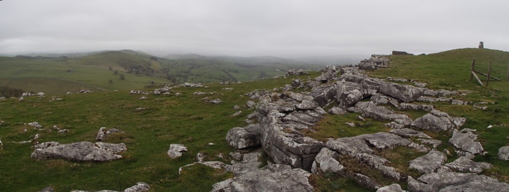
We continued down the very quiet valley of Hollinsclough, pausing for lunch in a pretty spot overlooking Hollins Hill. Then we ascended the ridge of Hollins Hill before traversing the crests of the more popular Chrome Hill and Parkhouse Hill – all made possible by permissive paths – to return to Earl Sterndale. These hills have become much busier since the pandemic and it was sad to see how eroded the small path over Parkhouse is getting.
Route map: https://www.plotaroute.com/route/2612693

Chrome Hill and Parkhouse Hill, from Hollinsclough
Parkhouse Hill, from the descent of Chrome Hill
Looking back to Chrome Hill, from Parkhouse Hill

On the Sunday, the plan had been for Ruth and me to tackle the second of this year’s Peak Raid MapRun events. However, I had picked up a knee injury running the Shakespeare Half Marathon (in Stratford-upon-Avon) two weeks prior, and exacerbated it by running the first Peak Raid course at Monyash the following weekend, and did not feel able to run. I therefore kept Josh company on a walk, aiming to intercept Ruth a couple of times on her run.

The MapRun and our walk started in the village of Wetton. We started by heading to the clifftop above Thor’s Cave – which I don’t think I had visited before – for great views up and down the Manifold Valley. Then we made a brief visit to the cave itself (overcrowded!) before dropping down into the valley bottom.

The Manifold Valley, as seen from above Thor’s Cave
Looking back up to Thor’s Cave

We headed up the Manifold Trail a bit, then ascended the unnamed valley on the north side of Wetton Hill, and climbed up steep grassy slopes to reach the westernmost summit a little before Ruth passed by (she had taken a longer route over Ecton Hill). We continued over the main summit then looped back towards Wetton to meet Ruth again on her way back in from the east.
Route map: https://www.plotaroute.com/route/2612698

Josh below Wetton Hill
Ruth on Wetton Hill

We had lunch on a bench by the village green, then headed back to Hilton, from where Ruth and Josh soon set off back home.

RRDB (not)Butlins 2024: Eyam (12th-14th January 2024)

On the mid-January weekend previously occupied by the Butlins Contest in Skegness, I organised Rolls-Royce Derby Band’s second annual “(not)Butlins” social weekend. This year we headed to the Peak District, hiring the YHA hostel at Eyam for our exclusive use. 

Heather met me at the bandroom after work on Friday and we travelled up together from there in my car, arriving a little before 4:30pm to find a few other early birds already unpacking provisions in the kitchen. We soon settled into our rooms, then the evening passed quickly, chatting over dinner (baked potatoes and toppings prepared by Helen), a few drinks and games. 

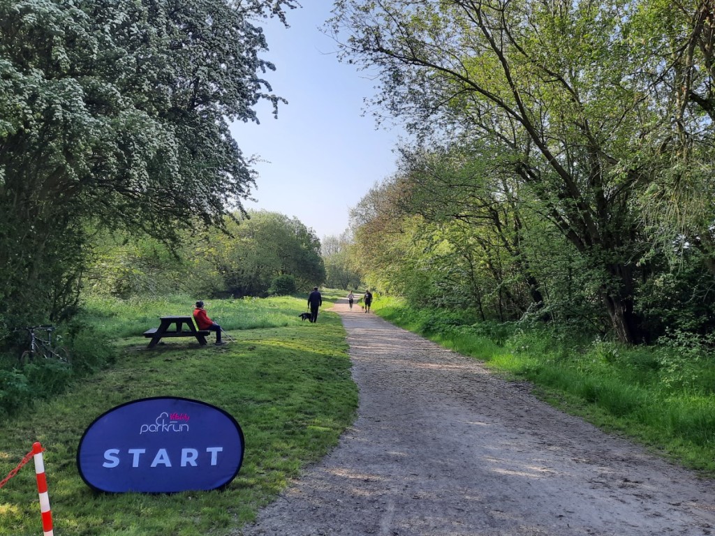
On Saturday morning, the majority of us headed to Hassop Station to take part in Monsal Trail parkrun, my second visit to this event. A cold but calm and bright morning made for ideal running conditions, and quite a few of the group ran times close to their best. I was happy to knock 30 seconds off my previous time for the course. 

Early morning at YHA Eyam
RRDBRC parkrunners

After returning to the hostel for showers, and bacon sandwiches for brunch, we divided into two groups for the afternoon. Ashleigh led a shorter walk down to Stoney Middleton and Eyam village with a couple of pub stops, while I led a slightly longer one up over Eyam Moor to Bretton Clough, returning via a drinks stop at the Barrel Inn (Derbyshire’s highest pub), We enjoyed extensive views of the eastern Edges and Kinder Scout from the hill summit, and the attractive woodland and steep-sided grassy knolls in the clough. 
Route map: https://www.plotaroute.com/route/2488889

Looking towards Kinder Scout, from Sir William Hill
Bretton Clough
Abney Clough
The group in Bretton Clough
Pub stop at the Barrel Inn

Helen led the preparation of delicious pulled pork rolls and macaroni cheese for dinner, followed again by chat, banter, drinks and games until late. 

We had a more leisurely start on Sunday, with French toast for breakfast followed by packing up all our stuff, cleaning and tidying to check out of the hostel at 10am. Some headed home to relieve relatives on childcare duties, others went for another potter around Eyam village, and I led a group of six on a fairly gentle 15km walk from Grindleford. 

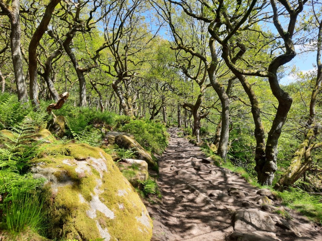
The morning was another beautiful sunny one with excellent air clarity. Padley Gorge looked pretty as we ascended in the dappled sunshine before heading towards Longshaw Lodge. 

Ascending Padley Gorge

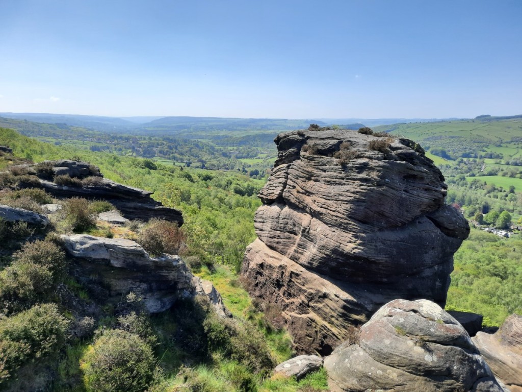
There we turned south, passing the Grouse Inn then following Froggatt Edge (with a lunch break on a rocky outcrop) and Curbar Edge as far as Curbar Gap. 

Froggatt Edge
Curbar Edge
Curbar Edge

We dropped down a bit then followed footpaths traversing the lower, wooded slopes to Froggatt village, where we picked up the Derwent Valley Heritage Way back to Grindleford. We had second lunch in the Station Café, then set off home. 
Route map: https://www.plotaroute.com/route/2488897

Returning to Grindleford along Spooner Lane

A great weekend with the brass band to start the year, hopefully kindling some good team spirit as we head towards the Midlands Regional Championships at the start of March. 
There are more photos on Google Photos here. 
Here’s to another great year of banding! 

Shutlingsloe and Shining Tor (7th January 2024)

As ever, returning from the Highlands left me underwhelmed by the prospect of a walk in the flatlands of the Peak District. The forecast was reasonable though, so I dragged myself out to the western moors around the Cat and Fiddle Pass to stretch the legs. 

I started off south along Whetstone Ridge, then dropped down by Cumberland Brook to Wildboarclough, enjoying the white frost on the rocks and dry-stone walls. 

Frosty moors below Whetstone Ridge
Shutlingsloe ahead

Then it was a steep climb back up to Shutlingsloe, rewarded by extensive, very clear views towards The Roaches to the south, and Macclesfield Forest and Shining Tor to the north, with the Manchester skyline visible in the distance. 

Looking towards The Roaches

I continued through the top of the forest then along some quiet footpaths to reach Lamaload Reservoir, which I circuited on the west and north before climbing back up via Andrew’s Edge (pausing for a late lunch in a sheltered spot) to Shining Tor. 

Lamaload Reservoir
Shining Tor, from Andrew’s Edge
Shutlingsloe, from Shining Tor

My motivation had increased by that point, so I opted for the longer option of descending to Errwood Hall before climbing back up to the Cat and Fiddle, rather than taking the direct path along the ridge. 

Foxlow Edge, from Stakeside

A decent day out overall, with great air clarity. A map of my route can be seen here, and more photos here. 

Wetton and Dove Dale (26th November 2023)

Amazingly, over a month had passed since my last walking day, if I don’t count a couple of Peak Raid races! Finally I had an empty day in my diary and a dry – if rather grey – forecast. After suffering from a heavy cold for much of this week, and with a chesty cough still lingering, I went for something not too strenuous, starting from the village of Ilam. Having attended the Gentian Club Annual Dinner recently in Fenny Bentley, but not having been available to join in with the associated trip to Ilam Hall bunkhouse, I also felt somewhat inspired to follow in their footprints!

I fancied walking down Dove Dale rather than up it, for a change, so set off north from Ilam, crossing a frosty Ilam Park then passing Castern Hall to follow a scenic footpath along the eastern rim of the Manifold valley towards Wetton village.

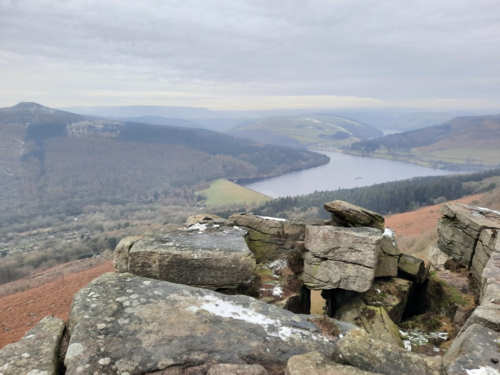
Looking down the Manifold valley towards Musden Low
Soles Hill

I then visited the two tops of nearby Wetton Hill, and enjoyed the views back down the Manifold and north over Ecton Hill, before descending southeast to Alstonefield and then down to Milldale.

Ecton Hill, from Wetton Hill (west top)
Looking southeast from Wetton Hill (east top)

I continued down the main Dove Dale footpath, pausing to appreciate the caves at Dove Holes, then the pinnacle of Ilam Rock. The path was damaged in places following the recent flooding, but not at all difficult to pass. Further down, I took the opportunity to head up the short side-path through the impressive natural limestone arch that leads to Reynard’s Cave. Surprisingly, I don’t think I’ve ever actually made that short detour before!

Dove Holes
Ascending through the natural arch
Looking back down from Reynard’s Cave

After a lunch break at Lover’s Leap, I was just left with a short walk down to the car park then over the fields – the muddiest path of the day – back to Ilam. I gave my boots a bit of a wash in the river before driving home!

A map of my route can be seen here, and more photos here.

Chee Dale and The Roaches (2nd-3rd September 2023)

My parents visited me for the weekend, and we were very fortunate to have a weekend of uninterrupted sunshine – quite a contrast to my visit to them a couple of months ago! Dad requested a walk in the White Peak, and Mum some flowering heather, and I was able to satisfy both with walks in Chee Dale and on The Roaches.

We got an early start on Saturday so I could try out the new-ish Pavilion Gardens parkrun when we were in the Buxton area for our walk anyway. Dad decided to save his energy for the walk, so he just spectated with Mum this time. It’s a fairly fast three-lap course, all on tarmac and not significantly hilly, but with lots of twists and turns to slow one down a little. They did well to come up with a course that did not require a fourth lap, visiting every corner of the small but attractive park. I was quite pleased with my time of 19:17, roughly on a par with my best recent runs.

Me after parkrun

Afterwards, we made the short drive to Wormhill, where we found plenty of roadside parking near the well, currently decorated (although not very impressively, we thought) for the annual Well Dressings. We started by following the footpaths northeast to cross the head of Monk’s Dale, then climbed back up to follow the Limestone Way above the far side of the valley and down to Miller’s Dale.

The track above Monk’s Dale

The main attraction of the walk was the next few kilometres, following the River Wye upstream through Chee Dale. For the end of summer, I was surprised how muddy and slippery it was, making the rocky steps more awkward than I had expected. Nevertheless, we enjoyed the dramatic scenery of the limestone gorge, and the two sets of distinctive stepping stones going along the side of the river below the overhanging cliffs.

Mum and Dad below one of the Monsal Trail viaducts
Chee Dale stepping stones
The second set of stepping stones

To finish the walk, we ascended the zigzagging bridleway up to Meadows Farm, then down and back up to Wormhill.
Route map: https://www.plotaroute.com/route/2376093

On Sunday, we got a more leisurely start before driving to Upper Hulme to park in one of the last couple of places available in the popular laybys below Hen Cloud. We started our walk by following the lane north, almost as far as Roach End, then used traversing paths to gain the ridge of Back Forest. We enjoyed the views towards the Hanging Stone, with The Cloud beyond.

Back Forest

Once we had reached the ridge, we paused for a snack break among the purple heather, with excellent views north towards Shutlingsloe and up the Dane Valley. Then we continued along the well-worn path to Roach End and up the stone-pitched path onto the main Roaches ridge the other side, appreciating the dramatic wind-carved shapes of the gritstone outcrops.

Looking over the heather to Shutlingsloe
Boulders above Roach End

We had lunch in a sheltered spot – very warm out of the light breeze – then continued past the trig point and along the top of the cliffs, with improving views of Hen Cloud and Tittesworth Reservoir, before the final descent back to the car. I had not previously taken a route through the woods below the main climbing cliffs, so that made an interesting change.
Route map: https://www.plotaroute.com/route/2376903

The Roaches
Dad and Mum below The Roaches

In summary, two good days out in the Peak District in the late-summer sunshine. It was good to spend time with Mum and Dad, and to give them the chance to visit these two beautiful locations again. My full photo album can be found here.

Walks from Hayfield and Darley Bridge (27th-28th August 2023)

I usually aim to get away somewhere for a bank holiday weekend but, just a week after the return from Norway, wasn’t sufficiently motivated to do any long-distance travel this time. Instead, I made Saturday a parkrun and chores day, then went for day walks in the Peak District on Sunday and Monday.

On Saturday night, Sunday’s forecast was for a few heavy showers late morning but also some sunny spells. I was disappointed, therefore, when I woke to see that expectations had deteriorated overnight, with more prolonged rain expected. I decided not to be a “fair-weather walker” though, and stuck with my plan to recce (at walking pace) the route of the 15-mile “Groovy Kinder Love” fell race, a gratuitously-hilly route from Hayfield on the western edge of the Kinder plateau. Poor weather almost seemed appropriate for recceing a fell race!

After a damp drive up, the rainfall radar didn’t show any imminent improvement so I set off straight away, ascending via “Christine’s Gate” – not sure whether that’s just the name given for the purpose of the race – to Mount Famine and South Head, both in the mist. Then the going was easier on the long, gentle ascent over the flank of Brown Knoll to Edale Cross.

Misty over Coldwell Clough, from Christine’s Gate

Next came a detour that one would only make for the purpose of increasing a route’s total ascent, down to the bottom of Jacob’s Ladder and back. I was pleased with myself for having sufficient motivation not to skip this part! After a short further climb up to Edale Rocks, where I took advantage of the shelter for a snack break, it was back down again, along the ridge of Kinderlow End and then north into Broad Clough. It was on this section that my phone died as I tried to get a photo of the purple heather – apparently it had got too damp in my jacket pocket and water had got to the screen, which flashed different colours for a bit before a failed reboot and black screen of death. I stowed it more safely – futile at this point – in my dry bag, before continuing on my way.

Edale Rocks, looming in the mist

The penultimate significant ascent was the first totally unfamiliar ground for me, following a small path up the heathery slopes to the top of Red Brook. Then came a flat section, along the edge of the plateau and past the Downfall to Sandy Heys, before a steep descent to the bottom of William Clough. I was treated to decent views over Kinder Reservoir, as the rain was easing and the cloud lifting a bit.

Looking along Kinder Reservoir

The last ascent was back up William Clough to Mill Hill – not too steep and on a good path. The final approach to Hayfield was another new route for me, following a boggy path over Leygatehead Moor, then the southern end of the Snake Path. I’d only previously used the section from Mill Hill down to the Snake Inn. I’ll remember this as a particularly damp day on the hill, but at least the final hour of dry-ish and breezy conditions meant that my waterproofs didn’t end the day dripping wet!
Route map: https://www.plotaroute.com/route/2369468

Descending from Leygatehead Moor, with views of Mount Famine and South Head

Thankfully, Monday was a much brighter day. I wanted a shorter drive so I devised a route starting at Darley Bridge, which is only about 45 minutes from home. I started by ascending through Clough Wood – not as pretty as I remembered it – then turned north to head up to Stanton Moor. The flowering heather was slightly past its best, but still the highlight of the day’s views, particularly around the Cork Stone and the old quarries.

Stanton Moor

I continued over the moor to the stone circle, then zigzagged down to reach the footpath to Rowsley, which was surprisingly overgrown to start off. There I picked up the popular path along the river meadows to Calton Lees, the most northerly point of my route. Having crossed the river, I headed east up the bridleway to Beeley Moor, where I paused for lunch. Then I followed a series of bridleways and footpaths below Fallinge Edge to reach the hamlet of Tinkersley. The views over the valley towards Longstone and Eyam edges were extensive but not remarkable. Finally, I dropped down to the river and followed the Derwent Valley Heritage Way back to the car.
Route map: https://www.plotaroute.com/route/2370359

Looking over Darley Dale, from near Rowsley
Looking towards Longstone Edge and Eyam Edge

You can find my full Google Photos album here. Sorry they’re not as vibrant as usual, thanks to having to revert entirely to my old compact camera after the death of my phone!

Great Longstone and Tideswell (30th July 2023)

The limestone dales of the central Peak District seemed the best bet for a dry walk today, with low cloud and showers more likely in the west and north. I devised a route starting in Great Longstone and taking in a few nearby hills and valleys.

A little drizzle fell on my initial ascent to Longstone Moor, but not enough to need a jacket. It had petered out by the time I reached the high ground, and I enjoyed the views towards Chatsworth, the Wye Valley and Monsal Head as I made my way west along the Edge,

Looking over Great Longstone and the Wye Valley from Longstone Edge

It was pretty breezy on the summit, so I dropped down straight away to head for Wardlow Hay Cop via the lane into Hay Dale and then the helpful permissive path. The summit was another good viewpoint but too windy for much of a pause. I descended by the main path to the northwest to enjoy the excellent views up Cressbrook Dale.

Looking back to Longstone Moor
Cressbrook Dale

It had been almost deserted this far, but I passed a few other groups as I made my way north up the valley. I don’t think I’ve ever clambered up to the top of Peter’s Stone before, so I took that short detour today, happily having it to myself. Then I dropped back down into the dale and up the other side to follow the permissive path around the rim above Tansley Dale, with more excellent views back towards Wardlow Hay Cop.

Peter’s Stone
Looking over Tansley Dale to Cressbrook Dale

A short walk through grassy fields brought me to Litton village, followed by a mile or so along the lane to Tideswell – poorly timed as a vintage car rally had chosen that single-track route at the same time! I had a quick look around the impressive church, which is known as the ‘Cathedral of the Peak’, then carried on down Tideswell Dale on well-made and popular footpaths – a route I’d only taken once before.

Litton Mill

Crossing the river at Litton Mill, I headed steeply back up the other side of Miller’s Dale to reach the high pastures again and followed High Dale down to the farm and cottages at Brushfield. From there, the bridleway along the rim of Monsal Dale gave excellent views of the river below and Fin Cop the other side, on my way to the Monsal Head viaduct. That just left a short walk along the cycle path and lane back to Great Longstone.

Monsal Dale
Monsal Dale

Mostly a grey and blustery day, but there were quite a few short sunny spells too, and the forecast afternoon rain didn’t arrive until after I’d got back home. Good to get out and stretch the legs amongst lovely limestone scenery. A map of my route can be viewed here, and more photos here.

Gentian Day Trip: Upper Dove Valley

Steve organised another Gentian Club day walk in the White Peak, this time starting in Hartington. Nine of us met a little before 10am by the village green. I thought Steve’s proposed route along the upper Manifold and Dove valleys was a bit flat for a hillwalking club, so I staged a mini rebellion by offering to lead a hillier version, which didn’t meet any objections!

We set off by crossing the Dove valley to Sheen, then dropping back down to the Manifold valley near Brund. From there, we followed the Manifold Trail, mostly quite close to the river, north to the village of Longnor. We had passed lots of DofE groups around Sheen, but it was much quieter by the Manifold, the grassy path being fairly clear but not heavily trodden.

The view towards Wolfscote Hill, from near Sheen

Once we’d crossed the ridge above Longnor, we gained views of the ‘Dragon’s Back’ hills: the reef atolls of Chrome Hill and Parkhouse Hill. Further to the right was the first summit I had suggested including, High Wheeldon. We crossed the valley via Beggar’s Bridge then ascended the very steep grassy slopes to the summit, enjoying the views from the trig point before dropping down a few metres to find shelter for lunch. The hill was a new Ethel for Steve and others (but not for me).

Aldery Cliff and High Wheeldon
The upper Dove valley, with Chrome Hill on the right
The group on the summit: Steve, Debbie, Steve, Chris, Helen, Rich, Claire and Martin

We then followed the well-marked (but unmapped) permissive path southeast along the ridge above Crowdicote. From there, the continuation, still occasionally waymarked but less well walked, made a traverse across the upper slopes of the access land towards Pilsbury Hill. The ungrazed meadows with lots of wild flowers gave pleasant easy walking, with views of the old motte and bailey at Pilsbury Castle, and towards Sheen Hill beyond. After that, we just had a short ascent between limestone outcrops to the tumulus at the summit of Pilsbury Hill, another Ethel.

Looking over Pilsbury Castle to Sheen Hill

Once across the next road, we were back on public footpaths most of the way to Carder Low, our final Ethel of the afternoon, with just a short pathless ascent required to reach the summit. Luckily the one dry-stone wall we needed to cross could be surmounted harmlessly at a section that had already collapsed, and there was another convenient gap on our descent route.

Debbie and Chris ascending Carder Low

That just left a couple of kilometres along the footpath and lane back to Hartington, where most of us had a drink at the Charles Cotton pub before heading home.

Another good day out with a great bunch of people. We were lucky with the weather, with a nice cooling breeze and warm sunny spells, and the few ominous grey clouds not producing any rain. A map of our route can be seen here, and my full photo album is available here.

Baslow and Combs (20th-21st May 2023)

Summer has definitely arrived this weekend in Derbyshire, so I celebrated with two days of walking and running in the Peak District.

Saturday started at Monsal Trail parkrun. I haven’t run it officially before – only a freedom parkrun on the old Bakewell parkrun course before it was re-branded post-Covid. It was a warm and sunny morning but the trees lining the trail offered frequent shade. I reached the 5k mark in around 19:45 but couldn’t quite get to the finish line under 20 minutes this time, clocking 20:01 in the results. At least I managed to get ahead of the man in the inflatable alien costume, even if only after 4km!

Monsal Trail parkrun

After parkrun, it was only a few minutes’ drive down to Baslow to start my day’s walk. I had planned to take in a few of the woodlands below the various eastern Edges in hope of some good displays of bluebells and spring foliage, and I was not disappointed!

Yeld Wood

Following my circuitous ascent to Wellington’s Monument, I followed the traversing paths below Baslow and Curbar Edges, finding more bluebells among last year’s dead bracken.

Scattered bluebells below Baslow Edge
Heading through the woods below Curbar Edge
Curbar Edge

Then I continued along Froggatt Edge and down through Hay Wood to Nether Padley, before ascending Padley Gorge, with beautiful dappled sunshine among the oak trees. Some of the faster runners of the Hathersage Hurtle race were descending as I climbed.

Dappled sunshine in Padley Gorge

Once I’d escaped the woods, I followed paths to Longshaw Lodge and there turned south to return to Baslow via White Edge and Baslow Edge, with super long-distance views over the moorland and the Derwent Valley. A map of my route is available here.

White Edge
Curbar Edge from Baslow Edge

Ruth drove down to my house in the late afternoon. We ate together, then spent the evening comparing plans for the next Peak Raid MapRun event, which we would tackle the next morning. The race started in the small village of Combs, northwest of Buxton. I’ve explored Combs Moss in the past but not really the valley and village to the west.

My route was generally clockwise, up onto Combs Moss and south along the edges, then back north past Combshead and Allstone Lee farms. I then zigzagged west on various little-used footpaths through the farmland to pass over the southern shoulder of Ladder Hill, looping back down to the shore of Combs Reservoir for the final stretch back to Combs village. The terrain gave more technical running and more challenging navigation than the first race of this year’s series, so I covered about 1.5km less in the two hours, but was pleased to set the highest score so far on this course, having visited 29 of the 35 controls and finished with 2 minutes to spare.

My Peak Raid route

Ruth’s route started similarly but omitted the big loop around Ladder Hill – good enough to be the leading female runner so far. We had lunch in the small park by the finish line, then took a short recovery stroll back down to Combs Reservoir. After that, we drove up onto the Cowlow road for another short walk onto the end of Combs Edge, to appreciate the scenery at leisure and take a few photos, before heading back to Hilton.

Combs Edge
Ruth above Combs Reservoir

Two cracking days on and around the eastern and western gritstone edges in the sunshine! More photos can be found on Google Photos here.

Coronation Bank Holiday (6th-8th May 2023)

I had wondered about going for a backpacking trip to Mid-Wales, but the wet forecast made it clear that was unlikely to be a very enjoyable experience, so I opted for another local weekend instead. I was keen to visit a new parkrun on Saturday and, given the royal connection, Market Bosworth Country Park seemed the obvious choice among the various options within 45 minutes’ drive. That choice was further corroborated when the parking marshal commented, on handing me my ticket, that there were lots of bluebells to enjoy around the course this week!

It was an undulating mixed-terrain course, with a long section of uneven grass in the first kilometre, then mostly dirt trails thereafter, with a few muddy patches. With hindsight, I went off too hard at the start and paid for it on the uphills in the final 2km! Given my sub-20 run at similarly-hilly Rosliston the previous week, I was a little disappointed with the time of 20:27, even if about 15s of that was beyond the 5km mark. It was an attractive location for a run though, and there was indeed a good display of bluebells in the woods on the western half of the course.

After the run, I picked up my phone from the car to grab a few bluebell photos, jogged back to the car park machine to make my payment just before the hour was up, and headed straight home to arrive just before 10:30, thereby only missing the first few minutes of the Coronation parade to Westminster Abbey. I enjoyed watching the rest of the historical event. Rain from lunchtime onwards discouraged any further outdoor ventures.

Bluebells in Market Bosworth Country Park, and a passing parkrunner

Sunday was the one sunny day of the weekend. I spent it on a day walk from Monyash with the Gentian Club, led by Steve. We had a fairly leisurely start, meeting at 10am on the village green. Our route went all the way down Lathkill Dale as far as Alport, with lots of spring foliage and flowers to enjoy as well as the usual crystal-clear river waters and limestone crags. Helen did a good job of identifying many of the wild flowers for us, as well as a few birds and butterflies.

Heading down the upper section of Lathkill Dale
Further down Lathkill Dale
A short pause by the waterfall

We then headed up Bradford Dale past Youlgreave to pick up the Limestone Way back over the fields to Monyash. With a little bit of post-running soreness in my knee, the easy pace was quite welcome to avoid further damage. I enjoyed the good company and conversation as usual. We stopped for a quick drink at a café before heading home. A map of our route can be seen here.

Looking over Lathkill Dale
Cales Dale

Monday was even wetter than Saturday afternoon, so I had a fairly lazy day. There was a relatively dry spell around midday which I used for a stroll around Hilton Nature Reserve. Other than that, just a few chores and band rehearsal later to end the day.

Hilton Nature Reserve
Bluebell woods

A few more photos from the weekend are available on Google Photos here.

May Day Bank Holiday weekend (29th April – 1st May 2023)

I stayed close to home for the Bank Holiday weekend, joined by Ruth for Saturday and Sunday. We started Saturday at Rosliston parkrun, me running hard to finish in 19:59 (my fastest Rosliston parkrun since 2019) while Ruth jogged around with Jo, pushing Claire in the buggy on Jess’ first 5k parkrun.

After bacon sandwiches in the café for second breakfast, Ruth and I headed off to Wootton for an afternoon stroll. It was only a short climb up from the village to the ridge of the Weaver Hills, where we followed the fence-line at the edge of the open access land to reach the summit. As our arrival coincided exactly with that of a large rambling group, we didn’t linger by the trig point but descended west to pick up the little-used and overgrown public footpath through the Wredon quarries.

Heading up onto the Weaver Hills

Better footpaths led us south through farmland and woods – the bluebells not yet at their best – to reach the very attractive and well-maintained grounds of Wootton Park. We paused for lunch below Ramshorn with extensive views south over the Churnet Valley and Staffordshire plains, and faint sounds of thrill-seekers at nearby Alton Towers.

Wootton Park

We continued through the parkland and past a few ornamental lakes to pass Wootton Lodge, today the home of Lord Bamford (handy for the JCB Headquarters and factories in Rocester), which just left a short climb up through the woods back to Wootton village. A map of our route can be seen here.

One of the lakes
Wootton Lodge

On Sunday, we headed to Great Longstone to have a go at the first of this year’s Peak Raid MapRun events. I chose an anticlockwise route, heading northeast up onto Longstone Edge then steeply down into Coombs Dale. Then I continued generally west, over High Fields and Middleton Moor, finishing with a crossing of Longstone Moor – the only pathless running of the day – and a long zigzagging descent back to Great Longstone. I was pleased that my pace matched my plan and I finished just over 4 minutes inside the two-hour time limit, having visited 31 of the 35 controls. That puts me in 2nd place for now. Ruth also had a good run, 12th place overall and 1st female. We will see how many others can get ahead of us before the event closes at the end of August.

Once we’d got our breath back, and eaten our lunch back at the car, we went for a leg-loosening stroll over to the fields Monsal Head then back along the Monsal Trail – see map here.

Upperdale from Monsal Head
Monsal Dale from the viaduct

I was busy with the band on Bank Holiday Monday, playing at the Castle Donington May Market. We played two sets in the Market Place, and I also enjoyed listening to the Leicestershire and Rutland Pipe Band.

Pipe band in Castle Donington

A good varied weekend, and only a week until the next Bank Holiday! More photos are available here.

Dovedale Hills (16th April 2023)

The one downside of trips to the Highlands is that they make my local hills seem uninspiring for a while after I return! So despite a dry forecast and an empty diary, I wasn’t feeling very motivated to get out this morning. I procrastinated for a while before finally getting out of the house around 10:15, heading for some of the grassy hills between the Dove and Manifold valleys.

Once I’d parked up in Hartington village, I set off south along lanes and bridleways to reach Wolfscote Hill, duly climbed by its western slopes. Sadly this is the only way with public access – if there were a good traversing path I’m sure I would have visited more than once before today! After a dry start to the walk, some light drizzle blew in from the west and persisted for the next hour or so.

Hartington
Looking ahead to Gratton, Narrowdale and Wetton Hills
Limestone and approaching drizzle on Wolfscote Hill

I dropped down into Wolfscote Dale then headed up the bridleway to Narrowdale farm. From there, it was a similar out-and-back ascent to Gratton Hill, also only my second visit. Next came a short, steep descent and re-ascent to neighbouring Narrowdale Hill, where I paused for lunch as the drizzle eased by the time I’d reached the western end of the ridge.

Wolfscote Dale
Wetton Hill

I continued west to Wetton Hill, then followed various muddy footpaths back to Hartington, via Back of Ecton and Upper Hurst. Not the most memorable outing thanks to the grey conditions and unexpected drizzle, but still good to get a few hours of fresh air.

A map of my route is available here, and more photos here.

Black Hill (19th February 2023)

I took a trip to one of the furthest-away parts of the Peak District, aiming to tick off three of my four unbagged Ethels and explore the unfamiliar area east of Black Hill. It’s an off-putting 70 miles from home, but actually mostly on the A38 and M1 so only about 80 minutes’ drive. I parked near the sailing club at Winscar Reservoir, where the forecast of sunny spells first thing happily proved to be correct!

Winscar Reservoir

The moorland to the west is pretty much pathless on the OS map but I had used the Strava Global Heatmap to identify the most popular routes on the ground and this did give me paths most of the way, even if they were sometimes indistinct or boggy. I followed small trods beside the stream up Dearden Clough, then picked up the fence-line along Upper Dead Edge. There hadn’t been much of a view from the broad ridge, with Bleaklow in the cloud to the south, but on reaching the trig point (and Ethel summit) I was suddenly able to see down towards Woodhead and Crowden.

Looking down to Crowden from Dead Edge End

More interesting views over the steeper slopes of Withens Moor made the traverse to Britland Edge Hill (the next Ethel) more enjoyable. The wire fence was also unusually festooned with strands of wind-blown grass, fluttering in the strong westerly breeze.

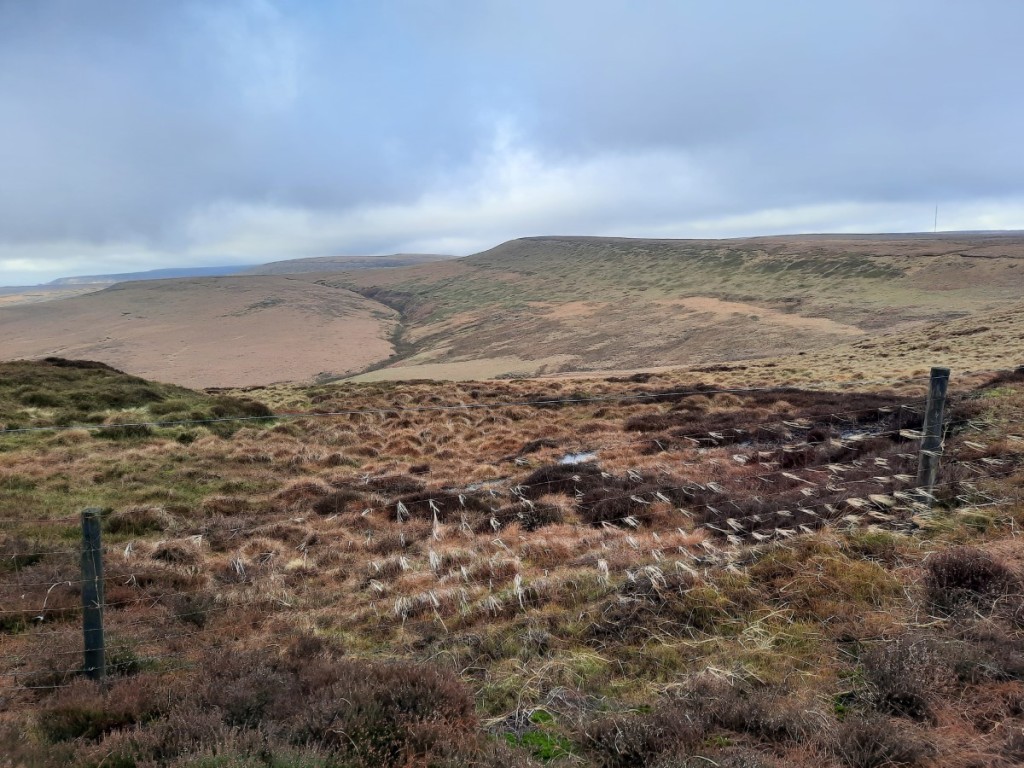
Withens Moor and the wind-blown grass!

The next couple of kilometres to the road at Holme Moss were particularly boggy, so I was glad to reach the firmer ground beyond. I had only seen a pair of fellrunners up to this point, so I was surprised to find quite a few other walkers on the path up to Black Hill. Perhaps I should not have been surprised, as it’s the shortest and easiest route, even if not as well surfaced as the Pennine Way! Although the path was reasonably obvious, in the mist I was glad of the reassurance of a compass bearing after I’d passed the last real landmark at Heyden Head. With a cold breeze and no view at the summit, I didn’t hang around long before setting off north along the stone-pitched path beside Issue Clough. Once I’d descended a few metres, however, I was back in the clear, with sunlit views northeast towards Holmfirth, and my route down to the ‘Issues Road’ track became obvious.

Dropping back into the sunshine by Issue Clough

The track gave easy walking down to the hamlet of Holme, beyond which I picked up some popular footpaths beside Brownhill Reservoir – an attractive spot with steep, mixed woodlands all around. Once I’d crossed the dam of Ramsden Reservoir, I reascended towards Ramsden Edge and traversed above the woods into Ramsden Clough. There I paused for a late lunch on a very comfortable rock in the sunshine, with an excellent view over the reservoirs and up Ramsden Clough!

Brownhill Reservoir
Riding Wood Reservoir, from my lunch spot

After lunch, I continued up Ramsden and Ruddle Cloughs to gain the moorland plateau again, then followed a line of grouse butts up onto Snailsden Pike. From the western top, marked as higher on the map, I felt sure that the trig point further east was in fact higher, but looking back from the trig it was not so clear! Best to visit both to be sure of bagging the Ethel properly. A good path led down to Harden Reservoir dam, from where it was an easy walk on large tracks around the east side of Winscar Reservoir and back to the car.

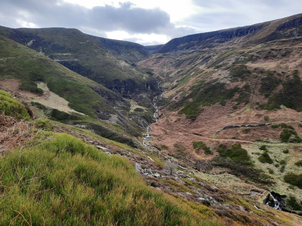
Ramsden Clough
The spillway from Harden Reservoir into Winscar Reservoir

The Ethel summits themselves weren’t especially inspiring today, but my route back from Black Hill via Holme and Marsden Clough was very attractive, and this area would definitely be worth exploring more thoroughly. My remaining Ethel is Ashway Moss, near the Trinnacle, so that should give a good walk from Dovestone Reservoir later in the year.

More photos can be seen here, and a map of my route here.

Hayfield skyline (4th February 2023)

I haven’t been for a walk with Amina since 2020, so I was pleasantly surprised when she said recently that she’d be up for a day out in the Peak District. No parkrun for me, in order to be fresh for a longer race the following morning, so it was the ideal Saturday for a walk and the forecast of dry, overcast weather was alright too.

We met at my house soon after 9 o’clock and I drove us up to Hayfield – Amina was keen to see my new car – to start walking soon after 10:30. I had wondered whether the cloud would be on the tops to start off. That proved not to be the case so we walked clockwise to get to the highest ground sooner, heading past Kinder Reservoir and then up William Clough. The visibility was pretty good with clear views around the skyline, and towards Manchester and Bleaklow once we reached the ridge.

Looking over Kinder Reservoir dam towards Mount Famine
Amina in William Clough

We continued east along the edge of Sandy Heys, pausing for a brief first-lunch in the shelter of a gully and to take a few photos around Kinder Downfall.

Gritstone crags at Sandy Heys
Kinder Downfall

Another half hour or so brought us to the high point of the day, the trig point on Kinder Low. By this point, the cloud had started to drop a bit and Sandy Heys was in the mist although Kinder Low itself remained just about clear.

The summit of Kinder Low
Amina by Edale Rocks

We dropped down to Edale Cross for lunch in the most sheltered spot we could find, then continued along the path – well-pitched at first, then boggy – over the shoulder of Brown Knoll and down the ridge to South Head and Mount Famine. A bit of drizzle blew through in the wind and made us a little damp for quarter of an hour or so but petered out before we’d got around to putting on our waterproof jackets. All that remained was the easy descent down the bridleway to Coldwell Clough and the car.

Looking back to Kinder Scout from Mount Famine
Looking back up to South Head and Mount Famine from Coldwell Clough

A good day out on the hill and it was great to catch up with Amina as we walked and talked. Hopefully it won’t be another 2.5 years until the next time! You can find more photos here and a map of our route here.

Stanage, Derwent and Bamford Edges (22nd January 2023)

Looks like I missed the best weather of the weekend, having seen photos of a cracking day of inversions and sunshine in the Peaks yesterday, but nevertheless I headed up to Hathersage today for my first local walk of the year. It was a cold start, with temperatures on the drive ranging from -7.5°C to -5°C, but with light winds didn’t actually feel too chilly at any point on the walk.

I started by ascending to Carhead Rocks, somewhere I had not been before, which gave good views down to the Derwent Valley and up to Stanage Edge.

Carhead Rocks, with Stanage Edge above

I then continued up to Stanage and followed the edge north all the way to Moscar Lodge. There were quite a few people around initially, but it got much quieter further north. There was a little snow wherever the sun had not shone, but nothing was very slippery, and progress was easy, particularly with the peat all well frozen.

Orange skies to the south
A bit snowier near Stanage End

Once past Moscar, I headed northwest over Strines Edge – another new route for me – and across the heather moor to reach Derwent Edge near Dovestone Tor. Turning south, I followed the edge as far as Whinstone Lee Tor, enjoying the views over Ladybower and the various rock formations, then took the bridleway east to Cutthroat Bridge, where I paused for lunch in the warmth of the woods.

Ladybower, with Kinder beyond

A short climb back up via Jarvis Clough brought me onto Bamford Moor, and soon to the busy viewpoint of Bamford Edge. I escaped the crowds as I descended south, and returned to Hathersage via Gatehouse and Birley Farm.

The classic view from Bamford Edge
Looking down over Bamford

No real sunshine and fairly hazy views today, but it was good to get out in the Peaks in wintery conditions before the thaw comes later in the week.

There’s a map of my route here, and more photos here.

Gentian Day Trip: Alport Castles (18th December 2022)

I haven’t got out walking at all in December, my weekends mainly being busy with brass band carolling and concerts, so I was looking forward to today’s Gentian meet in the Peak District. There have been lots of crisp, cold, sunny days recently, but sadly today was not such a day, with gloomy grey skies.

I set off from home around 7:45am, enjoying the drive up the Derwent Valley in my new car on its first major outing, and met the others at 9:15 at Fairholmes. Petra and Jane were new acquaintances for me, the others familiar from previous trips. The roads and paths around the visitor centre were pretty icy after the extended cold spell, so we hoped that it would be less compacted on the hill paths.

Soon we were under way, the seven of us heading up beside Locker Brook to the eponymous outdoor centre on the ridge above. The path through the woods wasn’t too bad, but the track along the ridge was mostly very icy. However, it was generally possible to get by on the softer snow on the verges, so I got away without putting my crampons on. At this point, Steve and Martin decided to head back down while the rest of us continued on the planned route.

Approaching Lockerbrook Farm

The open moorland of Rowlee Pasture made for easier walking, the icy slabs of the path easily avoided on the snowy grass beside, and the bogs well frozen. Although the light and visibility were not good, we enjoyed views over the Woodlands Valley and Alport Dale. Before long we were looking over the landslip, cliffs and boulders of Alport Castles, looking impressive with a dusting of snow.

Jane, Richard, Simon and Petra above Alport Castles
Looking over The Tower

From there, we dropped down into Alport Dale, where we paused for an early lunch as it was a lot less windy than on the ridge. Then we continued down the track – icy again – to Alport Bridge and took a short loop of bridleway the other side of the River Ashop before ascending back up to Lockerbrook via Rowlee Farm, a path I don’t think I had used before. As the afternoon was getting increasingly drizzly, we opted to descend directly to Fairholmes rather than take the planned detour to Crook Hill, which was just about in the mist by that point anyway.

Alport Dale
The icy track near Bellhag Barn

The road and car parks had thawed out quite a bit over the day, so the drive back to the gritted roads was less slippery than the approach had been in the morning. We paused for a drink in the Yorkshire Bridge Inn before heading to our respective homes.

Despite the murky weather, an enjoyable day out in good company, and I was happy to have got some snow under the boots before the big thaw comes tomorrow. Hopefully there will be more to enjoy in the Highlands in 10 days’ time! A map of our route can be seen here, and more of my photos here.

Combs Edge and Eldon Hill (27th November 2022)

I have lots of Christmas carolling with the brass band over the coming weekends, so was keen to take advantage of an empty diary today and get out in the Peaks, despite the rather grey and murky conditions. Inspired by some Instagram photos I’d seen quite recently of Combs Edge, a place I’d only visited once, I got an early start and headed back to Buxton to start my walk around 8:30am. My first destination was Corbar Hill, which lies just north of the town, which is an Ethel I hadn’t visited before. A short ascent through the woods brought me to the summit crags, trig point and Alpine-style cross!

Burbage Edge, from Corbar Hill

Well-trodden but fairly boggy paths led from there up onto Combs Moss – I had chosen poorly by wearing my lightest boots and soon had wet feet. I continued north along the zigzagging Edge, pausing to photograph the rocks here and there and to enjoy the views of Burbage Edge to the south and Combs Reservoir below.

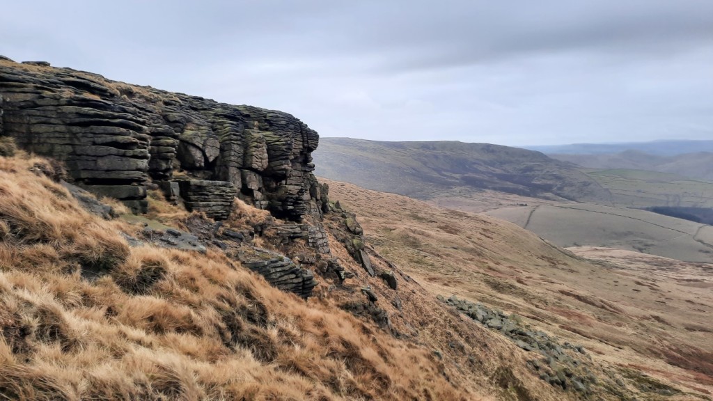
Combs Edge
Looking down from Combs Edge
Combs Edge, and Combs Reservoir below

After I’d reached the lane at the northern end of the moor, I followed fairly muddy footpaths via Sittinglow and Barmoor Farms to Sparrowpit – nothing very remarkable although there were some hazy views of Chinley Churn and South Head to enjoy. Next, the path traversing south of Gautries Hill gave more interest, following a wooded rake with lots of pits and gullies, evidence of mining.

Chinley Churn, Mount Famine and South Head in the distance
Mining gullies near Gautries Hill

Once I’d crossed Perry Dale, I was pleased to spot a brand new concession path signposted as a route onto Eldon Hill from the west. Just what I needed, as I had thought I would have to follow the lane all the way around the north side of the quarry to double back from the northeast. Soon I was on the top, with a glimpse of Mam Tor in the view. Eldon Hill was another new Ethel for me, and also re-completed my Derbyshire Tumps (it had been identified as a Tump since I last completed that still-evolving list).

The new signposts had also noted the 55-metre-deep pothole of Eldon Hole, a few hundred metres to the south, so I took a look at that on my way down to Peak Forest. It was difficult to photograph but definitely an impressive sight, reminiscent of the Yorkshire Dales! It doesn’t seem like many people pass that way.

Looking over Eldon Hole to Peak Forest
Looking into Eldon Hole

My route then headed down Dam Dale, where I paused for a late lunch, and Hay Dale, then climbed back up very muddy footpaths to Hargatewall and Tunstead. That just left the final approach to Buxton, a fairly straight footpath on the map but apparently crossing the huge Tunstead Quarry so I was dubious! However, sure enough the path was well marked and fairly well used, using a long footbridge to get over the quarry access railway and roads, then skirting the northern edge of the pit to reach the undisturbed ground on the far side.

Almost sunny in Dam Dale
Tunstead Works, from the footbridge

I got back to the car around 3:30pm, seven hours after I’d started and comfortably before dark. A good long day out including gritstone moorland, muddy farmland, and classic limestone hills and dales. I now only have four Ethels left to bag, all in the far north of the National Park, so quite far from home. An easy goal for next year though!

A map of my route can be seen here, and more photos here.

Rosliston, Elton and Errwood (19th-20th November 2022)

A local weekend this week, but a well-filled one! Saturday morning started with a volunteering session at Rosliston parkrun. This was my 25th time volunteering, earning me a T-shirt, so I marked the occasion by picking my favourite role, timekeeping. I arrived quite early so had time for a peaceful stroll around the forest before the run started.

Morning reflections before parkrun

After parkrun, I headed up to the White Peak for an afternoon stroll, taking advantage of the fair weather after lots of rain recently. I parked by the church in Elton. My first objective was one of the eight hills on the ‘Ethel’ list that I hadn’t bagged prior to that list’s creation, Harthill Moor. I would dispute whether the designated location is really the summit of a hill at all, as it has minimal prominence and there are several higher points further up the broad ridge, but it does have the distinction of a trig point. The “summit” offered decent views to the north and west.

The disused quarry on Anthony Hill

From there, I descended northwest into the head of Bradford Dale, and followed the valley downstream as far as Youlgreave, pausing for a late lunch on one of the benches.

Bradford Dale

I then followed the Limestone Way up to Robin Hood’s Stride, always a worthwhile objective with its distinctive rocky tor. That just left a short walk down past Dudwood Farm and back up to Elton.

Autumn colours near Harthill Moor Farm
Robin Hood’s Stride

On Sunday was the third of this year’s series of four Peak Raid 3 events (I had missed the second for the last Gentian trip, but can still quality for a series result as they take the best three results). The venue this time was the Goyt Valley, to the west of Buxton, with registration at Errwood Sailing Club. Ruth had decided to come down from Kendal to take part too, so we met in the large car park on the west side of the reservoir dam, and walked over to the start together. Although they had been forecasting rain or showers all week, it actually turned out to be a fairly sunny morning, the heavy rain having fully passed overnight.

Pre-race sunshine over Errwood Reservoir

The race went fairly well. I opted for a clockwise route, taking in 15 of the 19 controls and earning 500 out of a maximum 600 points. With hindsight, I did not visit the controls in the middle part of my route in the most efficient order, and could have saved nearly 1km and 90m ascent, perhaps saving enough time to visit an extra control within the three hours. I was happy with the start and end of my route though, and enjoyed the strenuous running through varied terrain and scenery. I finished with just 6 seconds to spare – judged to perfection! By chance, I had also passed over the summit of another of my missing Ethels, Foxlow Edge.

My chosen route

Ruth had also had a good run – a slower pace than mine but she had partly compensated for that by spotting that more efficient route. After we’d recovered and enjoyed the usual post-race coffee and flapjack in the clubroom, we returned to the cars, got changed, and then headed into Buxton for a café lunch and more discussion of our routes before we set off back to our respective homes.

A map of my route from Elton can be seen here: https://www.plotaroute.com/route/2090336
More photos are available here: https://photos.app.goo.gl/ZX2cNzakM5X1LHSP7

Gentian Day Trip: Bretton Clough (22nd October 2022)

The plan for today had been to precede the Gentian day walk in the central Peak District with a visit to Monsal Trail parkrun. However, with a sore knee that seems to be exacerbated by even slow running, I surprisingly took the sensible option and skipped the parkrun, heading directly to Sir William Hill to meet the nine others at 9:45am. Steve had planned a ten-mile route via Bretton Clough, Abney Moor and Abney Clough.

We had clear blue skies overhead, and excellent visibility, as we began by ascending the short distance to the summit of Sir William Hill, and then descending north into Bretton Clough. The autumn colours in the bracken and trees were particularly fine in the sunshine.

Descending towards Bretton Clough
Autumn colours in Bretton Clough

We continued up the valley a short way then climbed back up to Bretton, where we paused for a snack near the Barrel Inn pub, apparently the highest in Derbyshire. Turns out the Cat & Fiddle Inn is a few metres into Cheshire! We continued west along the lane – currently closed to vehicle traffic due to subsidence – towards Great Hucklow, enjoying the views over the dry-stone-walled White Peak pastures to the south.

Classic White Peak scenery

From Hucklow Edge, footpaths led us north across the fields and then over Abney Moor to Robin Hood’s Cross, where we paused for our main lunch break. Then we continued down to Abney village and down Abney Clough to reach Stoke Ford and, for a kilometre or so, retrace our morning route back up towards Sir William Hill. This time, however, we bypassed the summit and took the traversing path over the moor directly back to the cars.

Abney Moor
Looking back towards Abney Clough

Some of the group headed to the pub in Eyam. I was in two minds but set off following the directions given. However, after a couple of passes through the village I hadn’t seen anywhere matching the description, and just headed straight home instead. That allowed me to get the lawn mown before dark anyway, ahead of tomorrow’s rain!

There are a few more photos on Google Photos here, and a map of our route here.

Stanage Edge (18th September 2022)

Jeff and Helen joined me for a walk in the Peak District, starting in Grindleford. We met at my house and I drove us up to the car park at the railway station to start the walk around 10am. Having driven through drizzle between Ashbourne and Monyash, I was glad it was dry and fairly bright further northeast.

We set off steeply uphill through oak and then silver birch woodlands into the old Bolehill Quarry – always one of my favourite spots – and continued from there below Millstone Edge and up onto Over Owler Tor, giving excellent views both ways over the Derwent Valley.

Helen and Jeff in the old Bolehill Quarry
Looking up the Derwent Valley from Over Owler Tor

From there, it was easier walking along the ridge to Higger Tor and Upper Burbage Bridge, where we paused for a snack in the shelter of some boulders. We continued up to the southern trig point of Stanage Edge, and along the Edge for a few kilometres, watching a few rock climbers below and a few pairs of trail runners taking part in a relay race circumnavigating Sheffield. The clouds gradually broke up to give more sunny spells, and lifted off the top of Kinder Scout in the distance.

Helen, and the view towards Mam Tor and Kinder Scout
Jeff on Stanage Edge

We descended by the ‘Long Causeway’ byway to have lunch by Dennis Knoll, looking back up to the Edge, then continued down to Hathersage for cream tea / coffee and cake in the attractive outdoor dining area at Cintra’s Tearoom. That just left an easy final few kilometres beside the River Derwent to return to Grindleford Station, where we had a quick look around the restored chapel of Padley Hall, and the ruins of the Hall behind (little more than foundations), before returning to the car.

Helen and Jeff beside the River Derwent

There are more photos on Google here, and a map of our route is available here.