My parents visited me for the weekend, and we were very fortunate to have a weekend of uninterrupted sunshine – quite a contrast to my visit to them a couple of months ago! Dad requested a walk in the White Peak, and Mum some flowering heather, and I was able to satisfy both with walks in Chee Dale and on The Roaches.
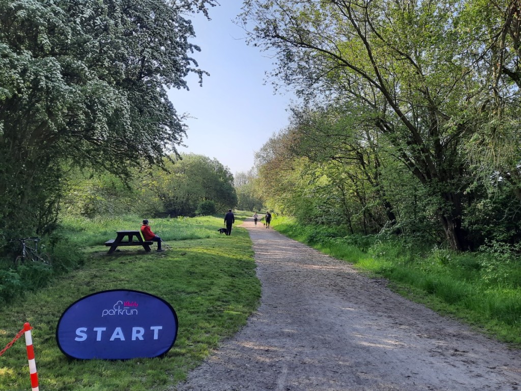
We got an early start on Saturday so I could try out the new-ish Pavilion Gardens parkrun when we were in the Buxton area for our walk anyway. Dad decided to save his energy for the walk, so he just spectated with Mum this time. It’s a fairly fast three-lap course, all on tarmac and not significantly hilly, but with lots of twists and turns to slow one down a little. They did well to come up with a course that did not require a fourth lap, visiting every corner of the small but attractive park. I was quite pleased with my time of 19:17, roughly on a par with my best recent runs.

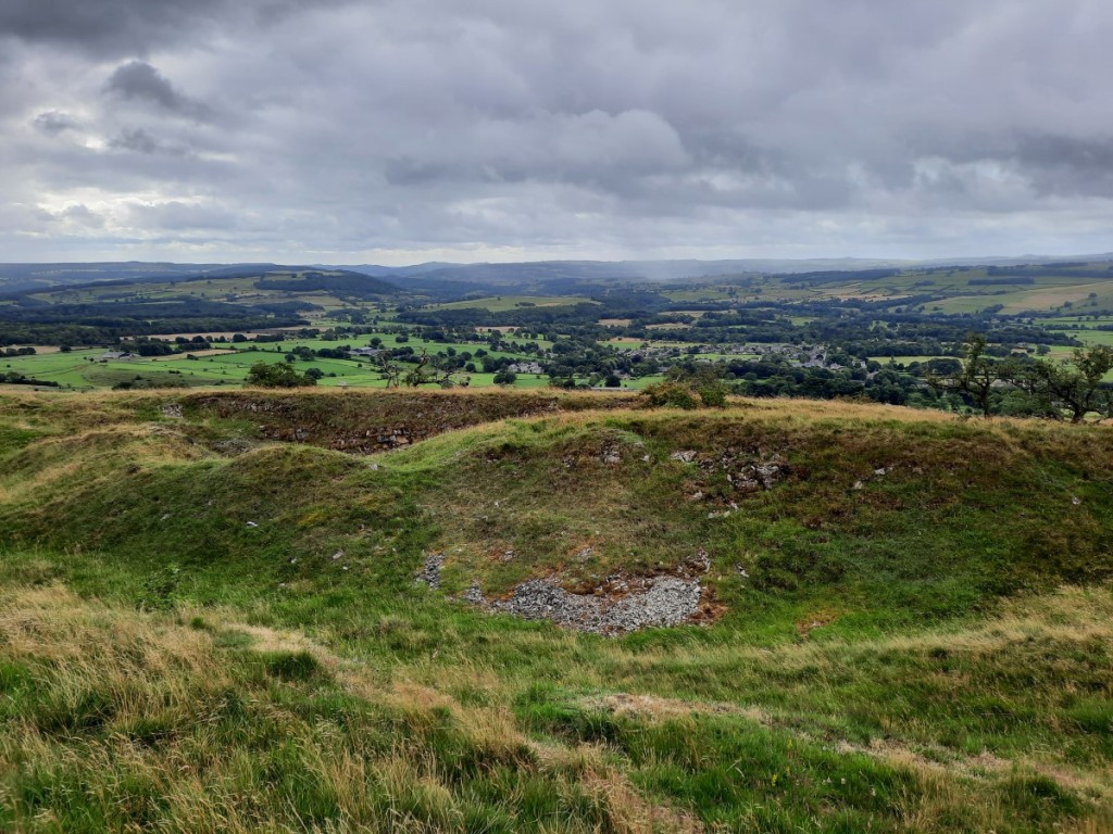
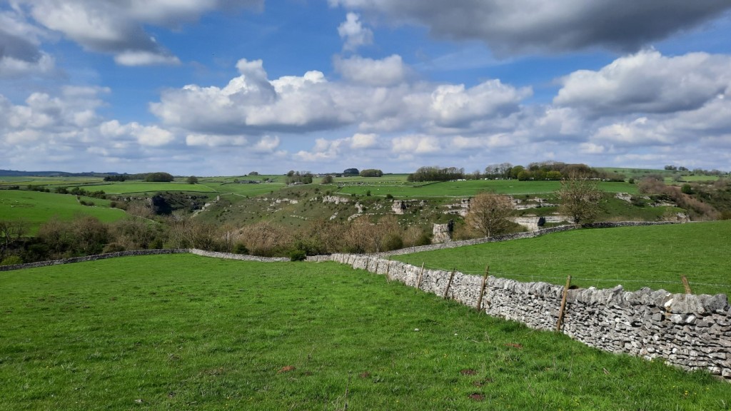
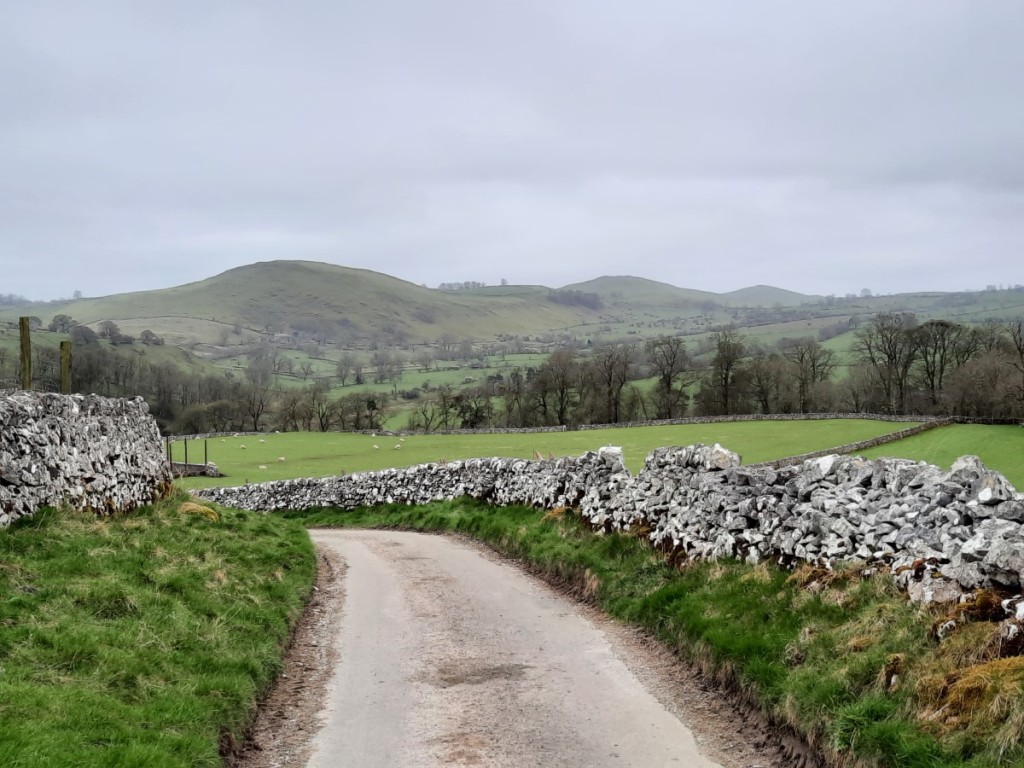
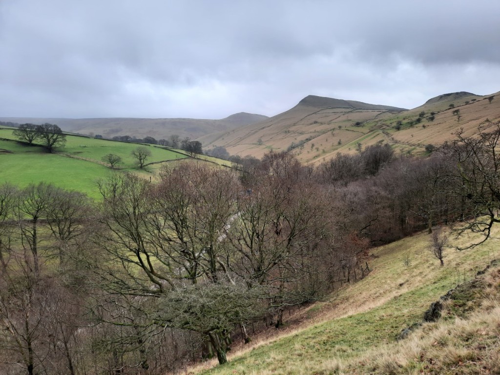
Afterwards, we made the short drive to Wormhill, where we found plenty of roadside parking near the well, currently decorated (although not very impressively, we thought) for the annual Well Dressings. We started by following the footpaths northeast to cross the head of Monk’s Dale, then climbed back up to follow the Limestone Way above the far side of the valley and down to Miller’s Dale.

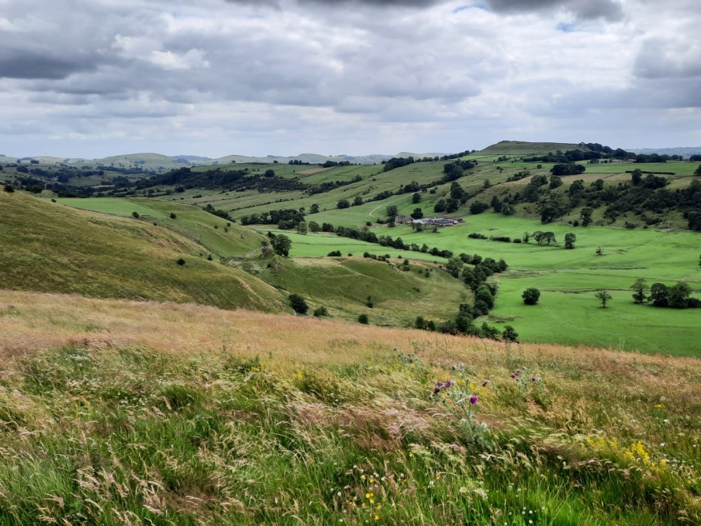
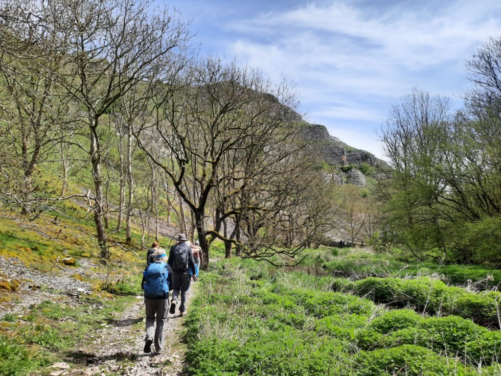
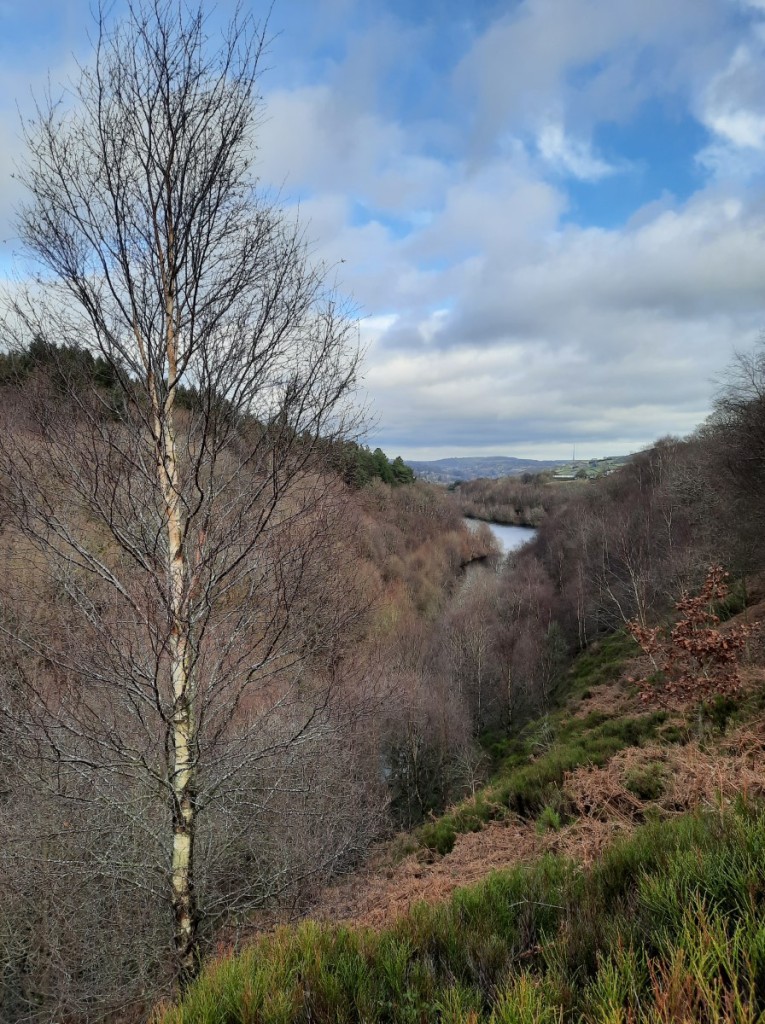
The main attraction of the walk was the next few kilometres, following the River Wye upstream through Chee Dale. For the end of summer, I was surprised how muddy and slippery it was, making the rocky steps more awkward than I had expected. Nevertheless, we enjoyed the dramatic scenery of the limestone gorge, and the two sets of distinctive stepping stones going along the side of the river below the overhanging cliffs.


To finish the walk, we ascended the zigzagging bridleway up to Meadows Farm, then down and back up to Wormhill.
Route map: https://www.plotaroute.com/route/2376093
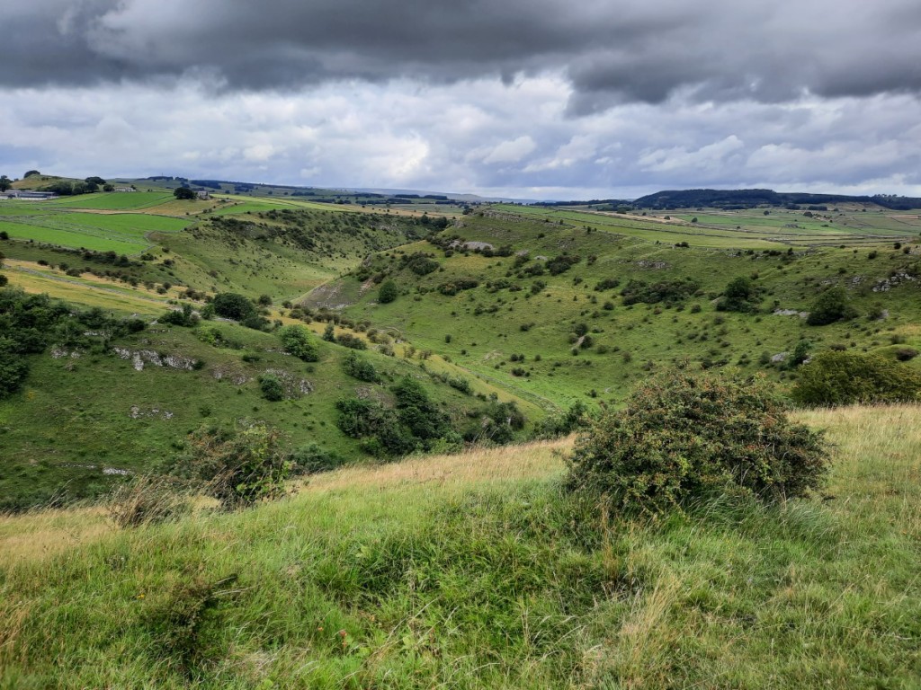
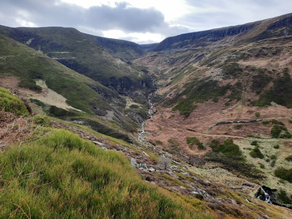
On Sunday, we got a more leisurely start before driving to Upper Hulme to park in one of the last couple of places available in the popular laybys below Hen Cloud. We started our walk by following the lane north, almost as far as Roach End, then used traversing paths to gain the ridge of Back Forest. We enjoyed the views towards the Hanging Stone, with The Cloud beyond.

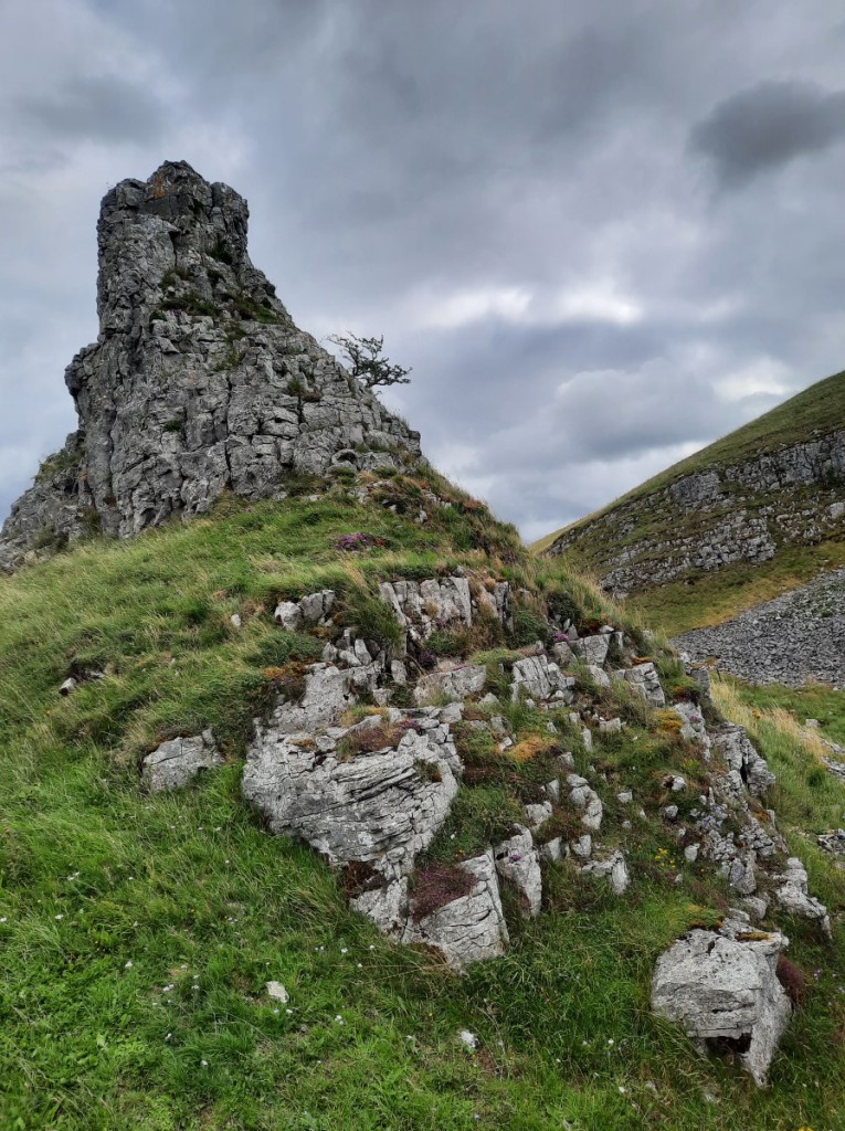
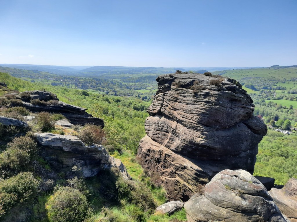
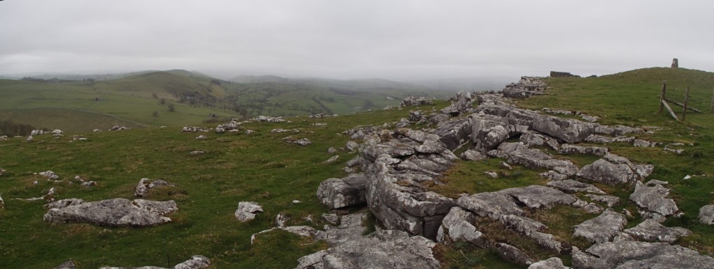
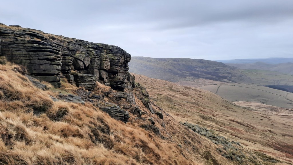
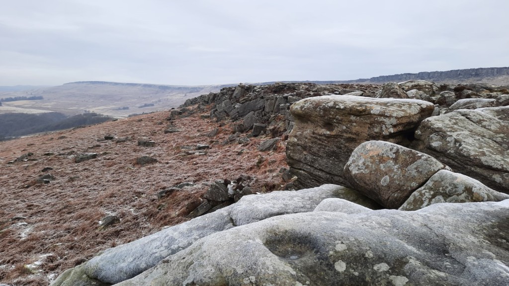
Once we had reached the ridge, we paused for a snack break among the purple heather, with excellent views north towards Shutlingsloe and up the Dane Valley. Then we continued along the well-worn path to Roach End and up the stone-pitched path onto the main Roaches ridge the other side, appreciating the dramatic wind-carved shapes of the gritstone outcrops.


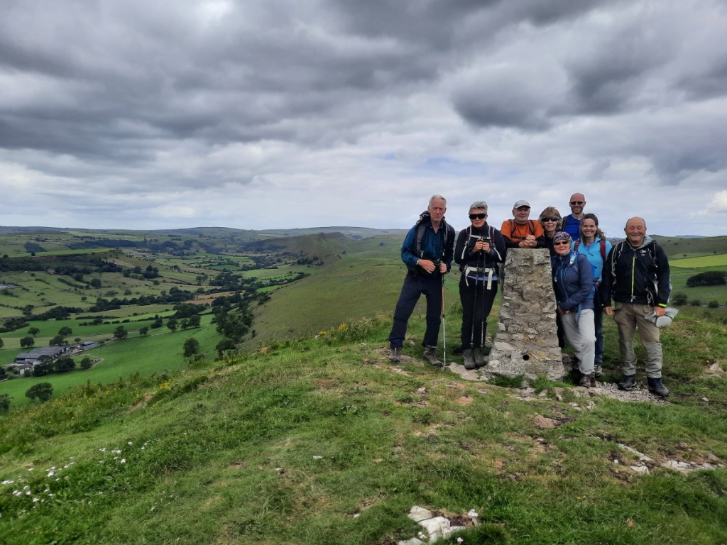
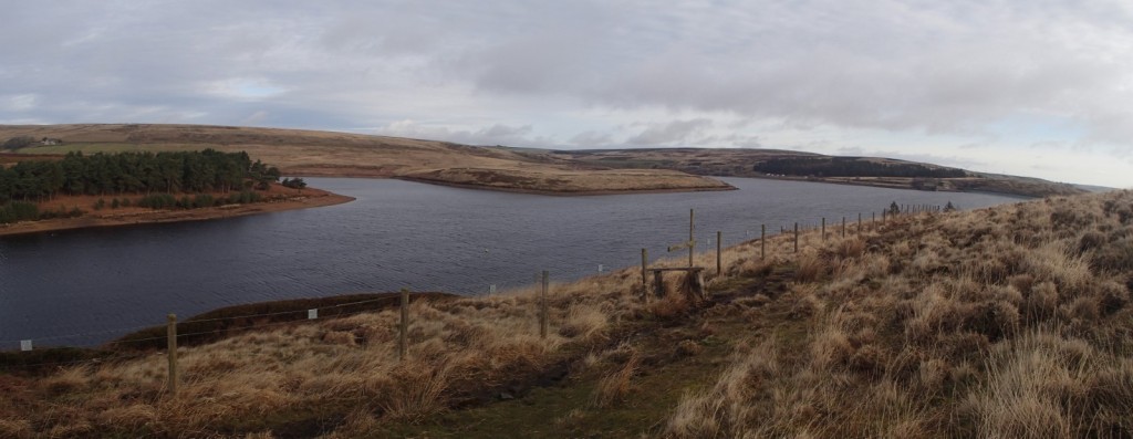
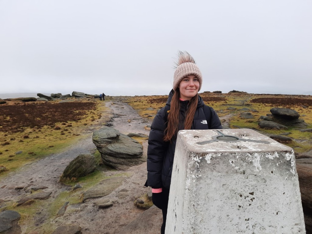
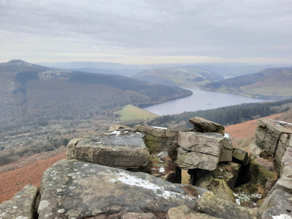
We had lunch in a sheltered spot – very warm out of the light breeze – then continued past the trig point and along the top of the cliffs, with improving views of Hen Cloud and Tittesworth Reservoir, before the final descent back to the car. I had not previously taken a route through the woods below the main climbing cliffs, so that made an interesting change.
Route map: https://www.plotaroute.com/route/2376903


In summary, two good days out in the Peak District in the late-summer sunshine. It was good to spend time with Mum and Dad, and to give them the chance to visit these two beautiful locations again. My full photo album can be found here.