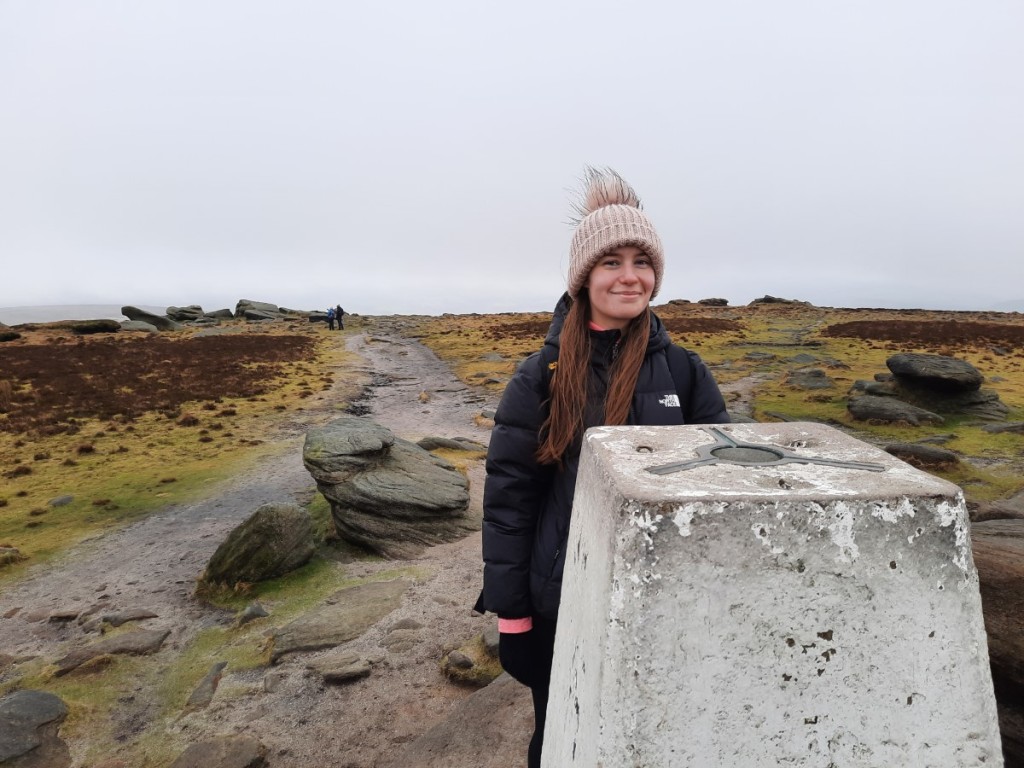
For this year’s main summer holiday, Ruth suggested heading to Norway, something that has long been on my to-do list. Similarly to last year, she took a month’s trip and spent the first two weeks (a mixture of walking, cycling and canoeing) with Josh, with me taking his place for the second half (more walking-focussed, of course). And so it was that I waved to Josh at the gate at Manchester airport as he disembarked the SAS plane while I waited to board for its return trip to Oslo! The flight went smoothly, the only novelty being free tea and coffee, and my bag was one of the first to emerge onto the luggage carousel, so I made quick progress through the airport to meet Ruth.
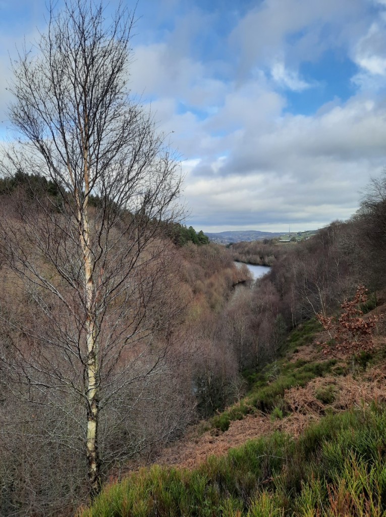
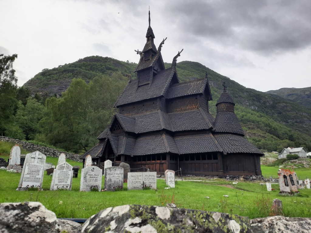
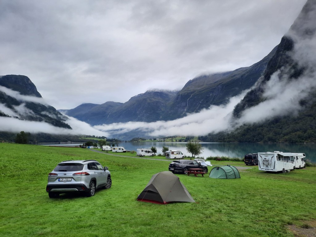
Our rough plan had been to make an anticlockwise tour of southern Norway, starting by heading to Jotunheimen National Park for some backpacking, but we opted to reverse the direction as the forecast was really poor for that area for the next few days, with red weather warnings for rain. So instead we spent the afternoon driving a few hours northwest to Kjørnes, where we based ourselves at the campsite for three nights, with good views over Sognefjord. We broke the drive at Borgund for a quick look at the well-known Stave Church, a very elaborate wooden construction dating from around the year 1200.

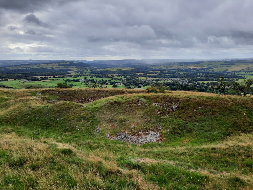
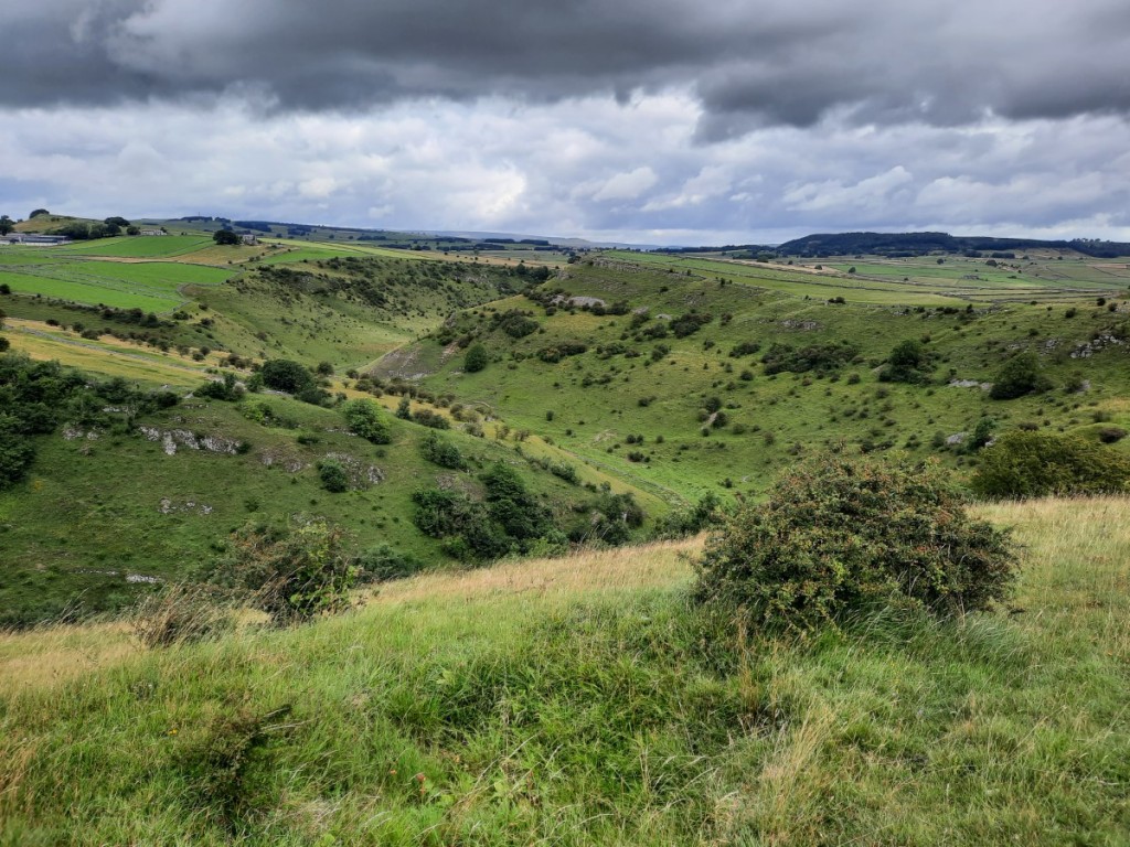
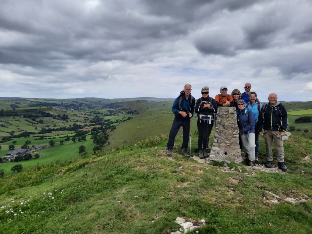
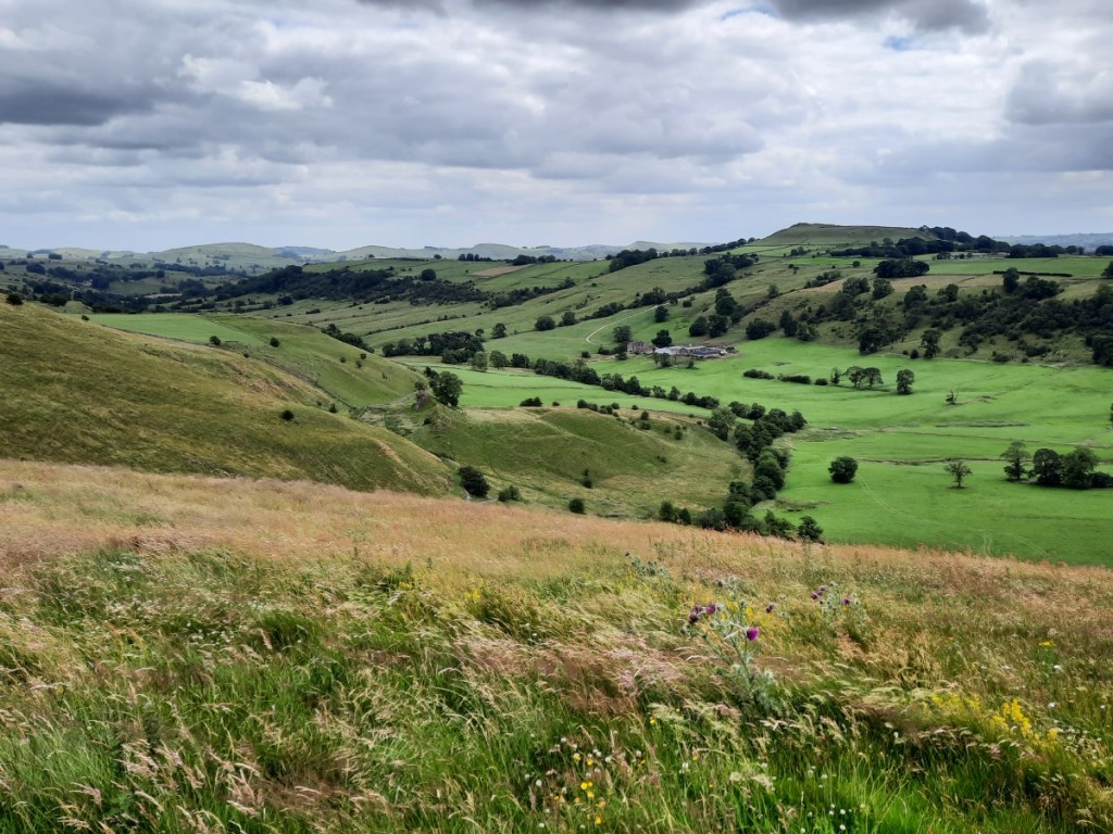
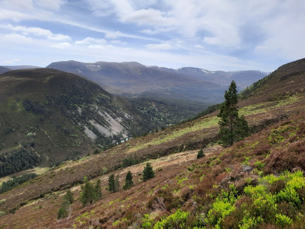
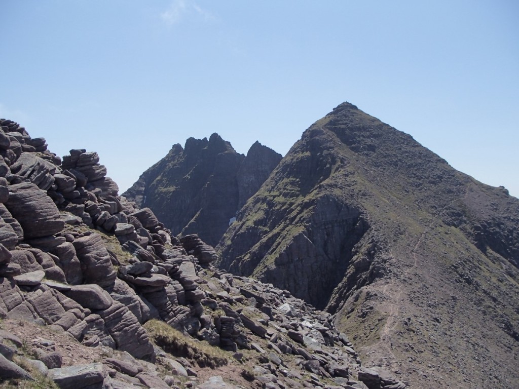
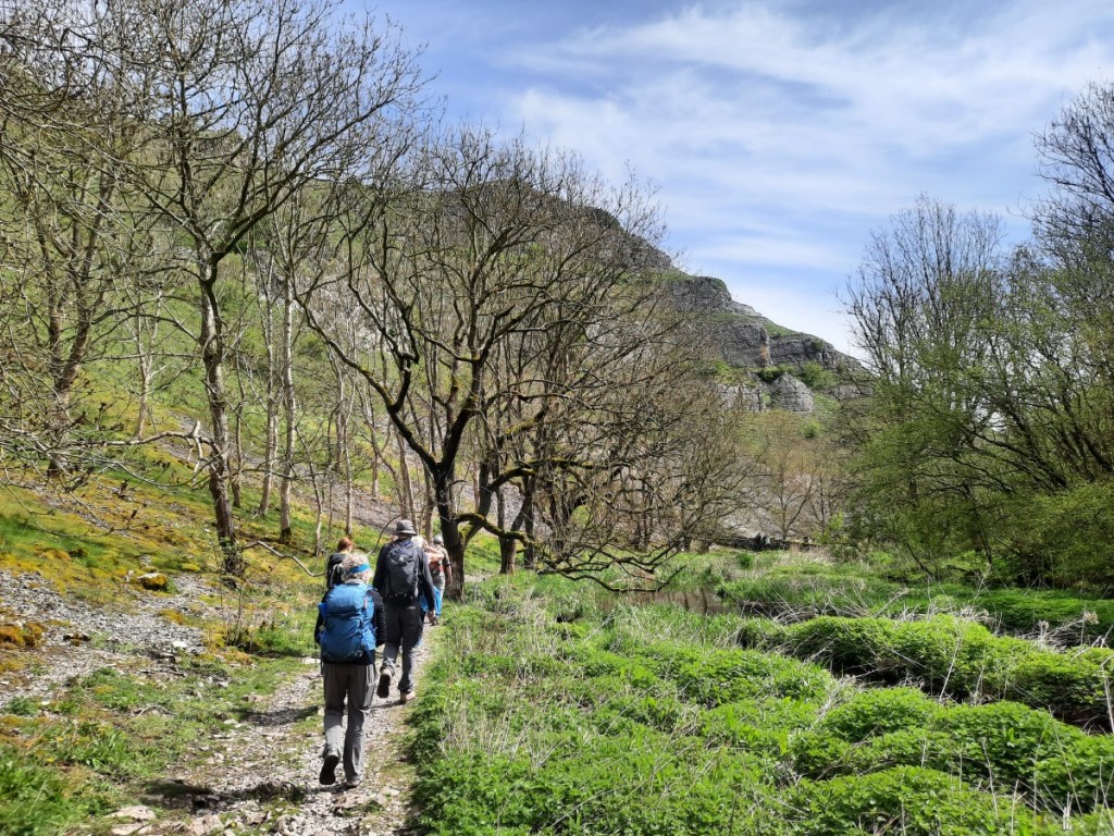
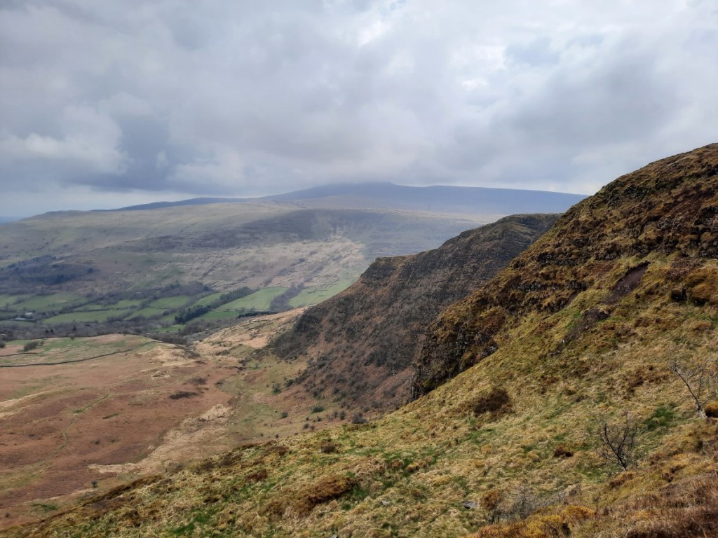
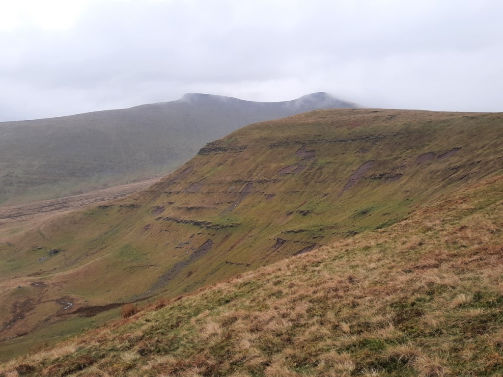
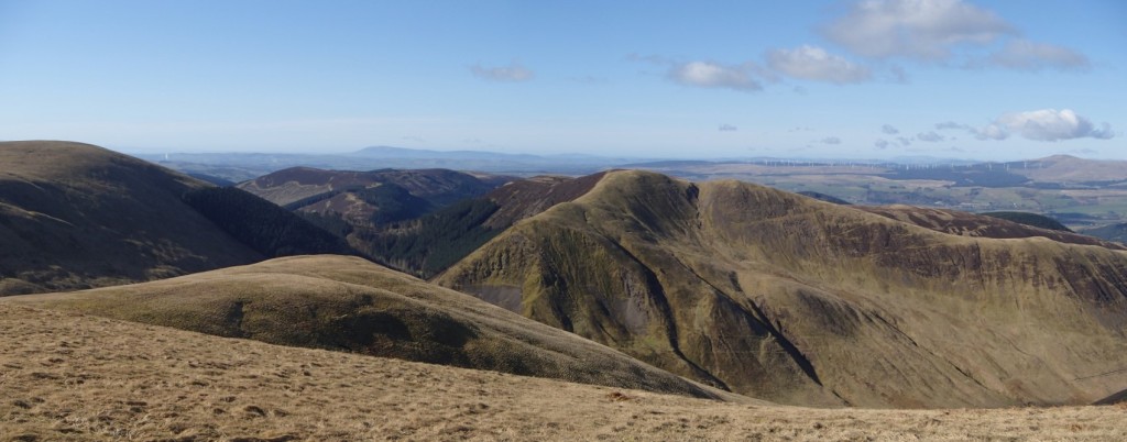
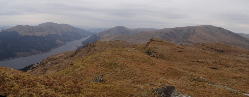
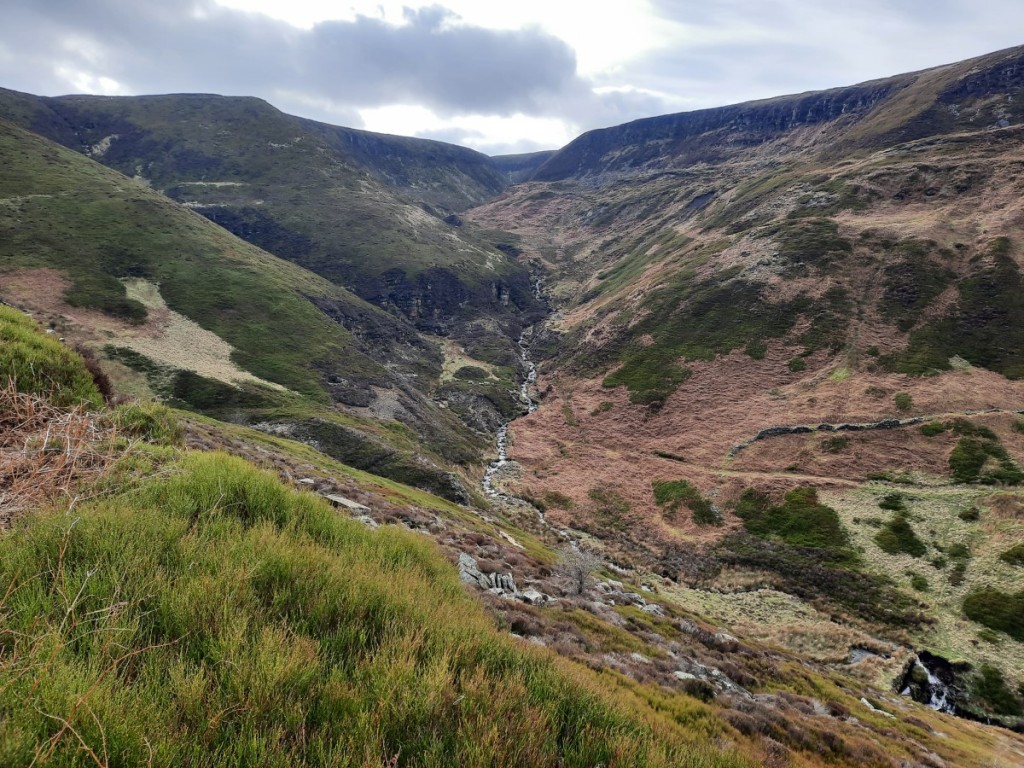
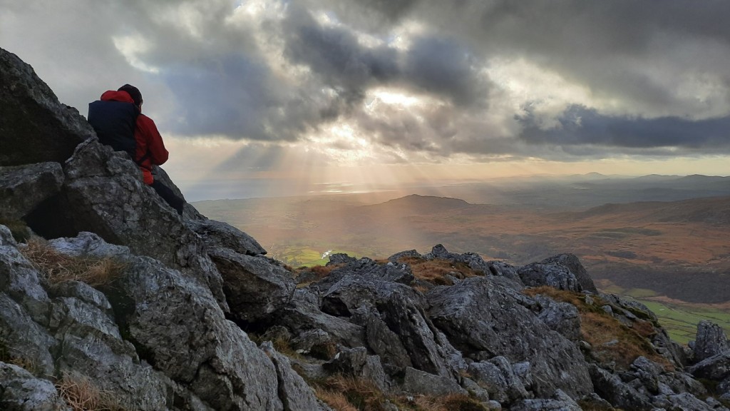
Light rain was forecast for much of Monday, but it wasn’t as bad as Tuesday, so we were keen to get out for a mountain walk! We started a few miles west in the small town of Balestrand, which required a drive along Sognefjord then a ferry crossing over Fjaerlandsfjorden. Our route was a popular one, up a very well-built footpath, zigzagging through the woods then along a more open ridge to the summit of Raudmelen (972m). The rain had just about stopped by the time we reached the top, and mostly held off for the next few hours – a welcome surprise! We enjoyed the views over the fjord and mountains and were inspired to continue further up the ridge towards Spenane rather than keeping to the shortest circular route.
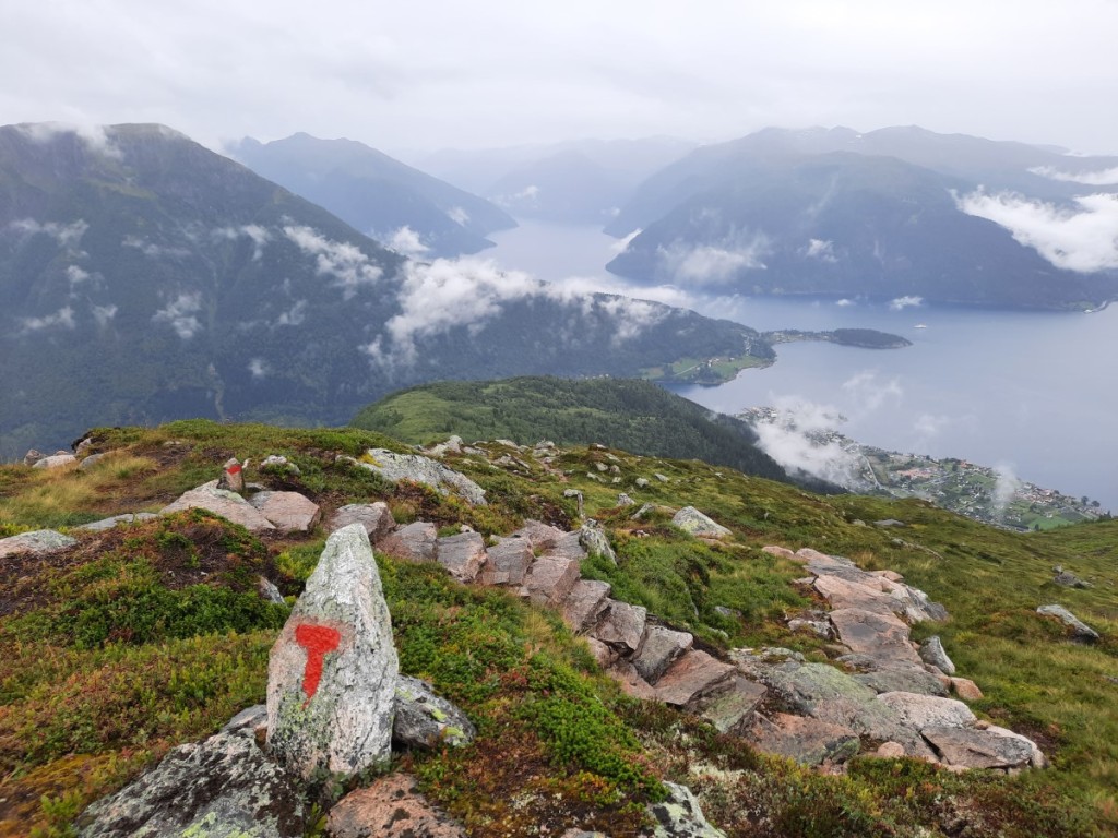

The path was much smaller beyond this point, but still clearly marked with red T-marks, like all major trails in Norway. Spenane had two tops and gave more good views over Esedalen and towards the cliffs of Munkeggi (1270m), which we decided to make our final objective for the day. We descended via the small lake of Fagravatnet. Beyond there, the rain returned for the rest of the walk, down through the woods to Bruhjell, then contouring along the slopes back to Balestrand.
Route map: https://www.plotaroute.com/route/2346497

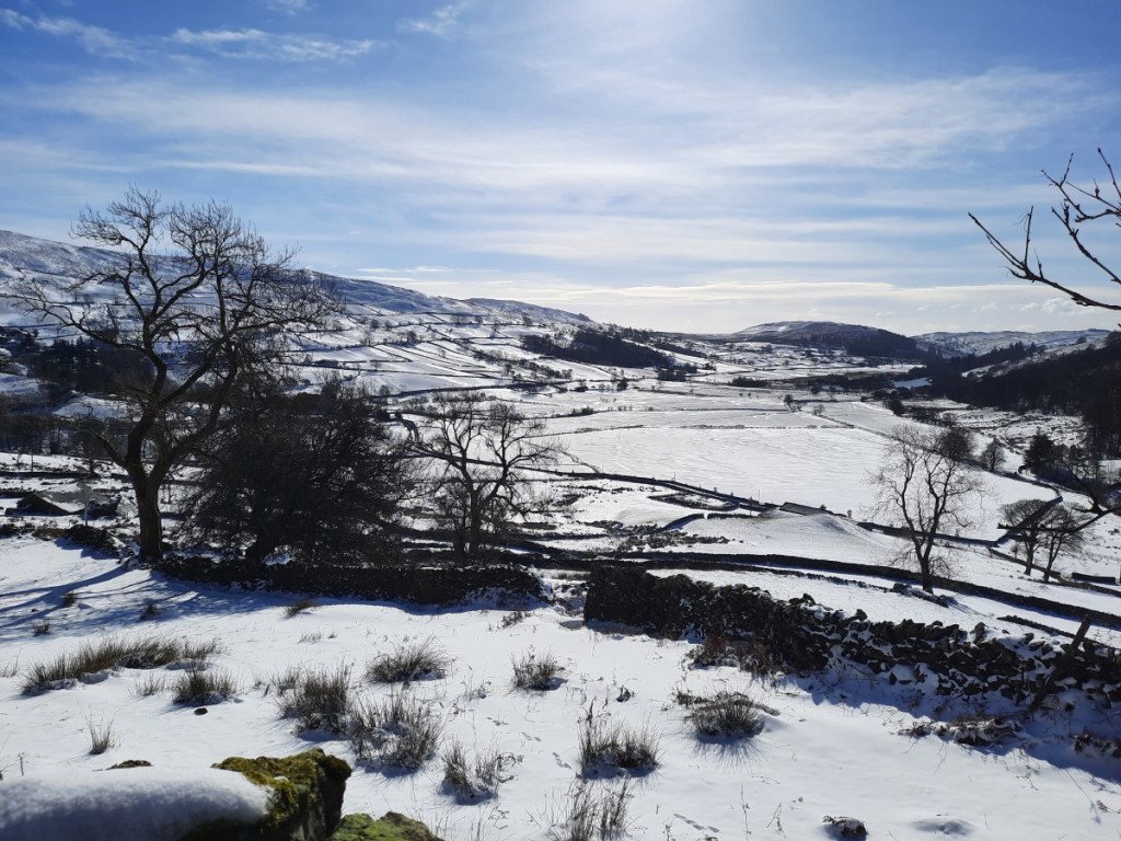
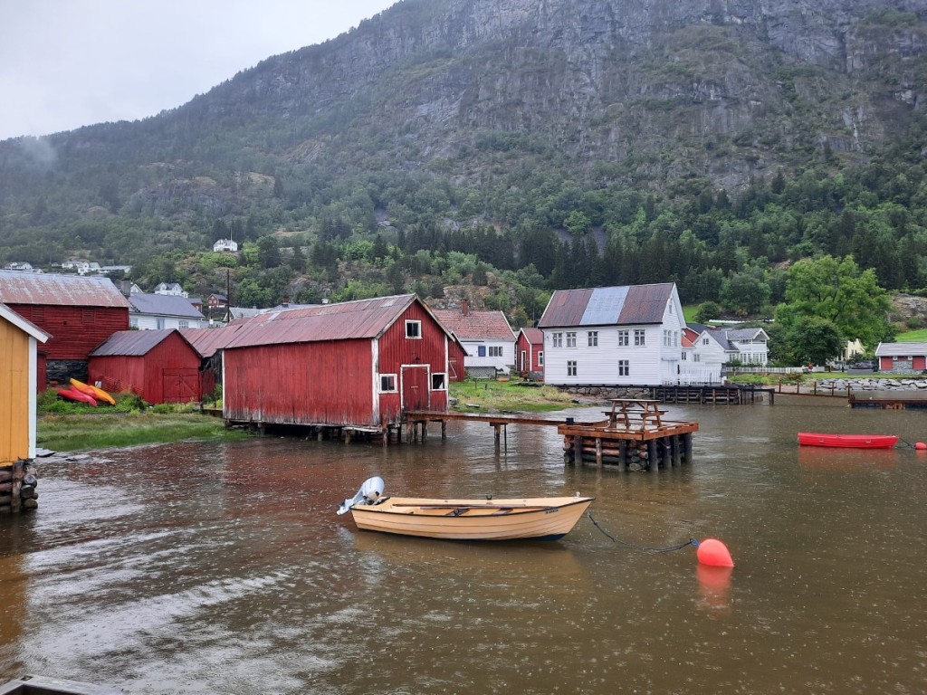
Tuesday, as forecast, was a very wet day, and we didn’t get out for any significant walk. We did take an early-afternoon drive up to the pretty fjord-side village of Solvorn for a short stroll among the colourful wooden cabins and boathouses along the waterfront. Thankfully, the campsite, like most in Norway, had a spacious kitchen / common room in which we could spend the time – much preferable to the tent or car!
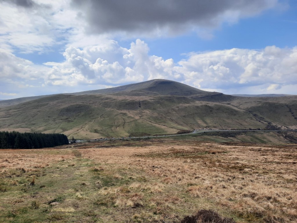
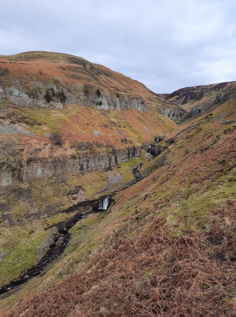
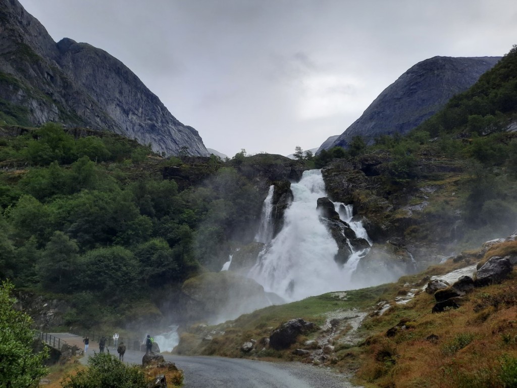
Wednesday was drier. We packed up camp fairly early and spent a couple of hours driving north (by a roundabout route!) to Briksdalsbre, at the head of the Oldedalen valley. This looked like a good access point for a walk up to the huge Jostedalsbreen glacier, the largest in mainland Europe, and proved to be a popular car park. The impressive Volefossen waterfall tumbled down on the opposite side of the valley, with rocky peaks all around and tongues of glacier coming down in-between.

The start of our walk was with the crowds, up the Briksdalen valley towards the tip of the Briksdalsbreen glacier, passing the awesome Kleivafossen waterfall, where we got quite wet from all the spray!
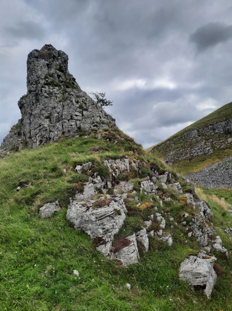
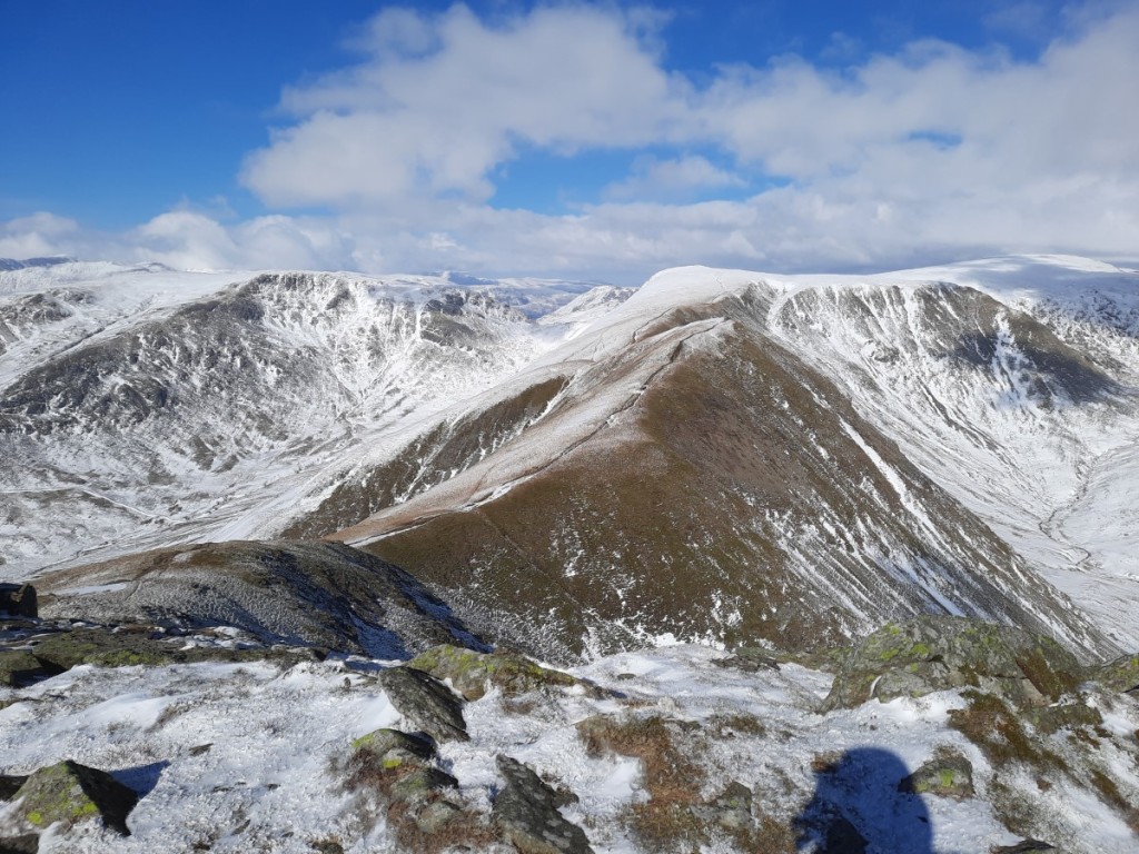
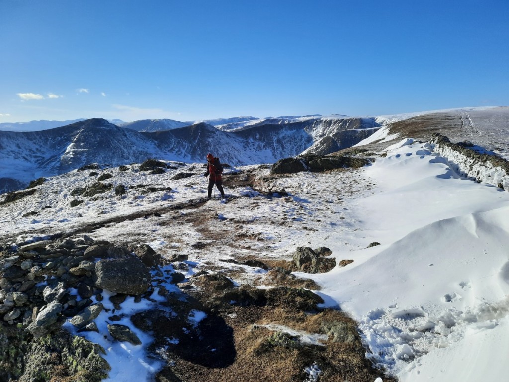
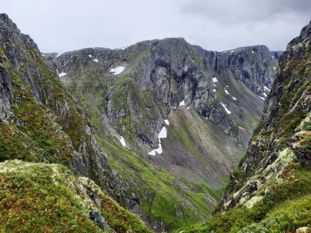
A little before reaching the glacial lake, we turned right on the small marked trail to the Kattanakken ridge, a much quieter route! This ascended very steeply over slabs then through scrubby woodland to eventually reach the shoulder of the ridge, where we paused for a late lunch with dramatic views of valley and glacier.


Then we continued up the ridge, requiring a little easy scrambling in places, to the highest point, a great viewpoint for the expanse of the glacial plateau above.


We returned by the same route, except for making the small detour to the glacial lake. Light rain returned as we descended, and made the lower slabs quite slippery, but we got down them safely with care.
Route map: https://www.plotaroute.com/route/2352471
We headed just a few miles back down Oldedalen to camp for the night at Camping Gryta, again offering a useful under-cover kitchen to cook out of the rain, and a lounge area in reception for the evening.
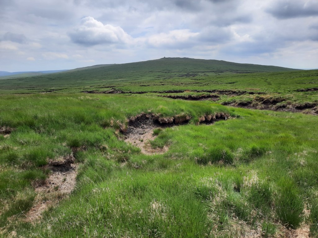
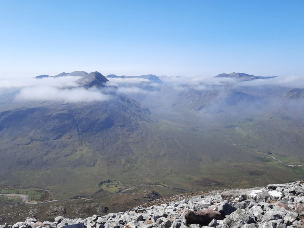
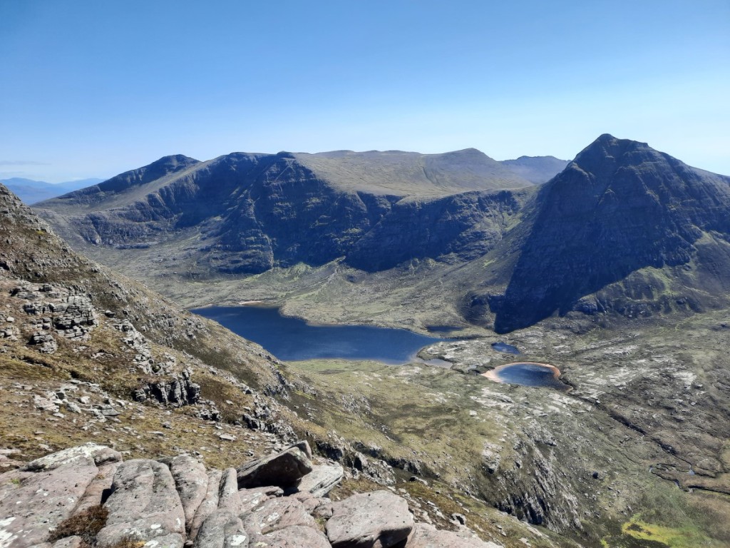
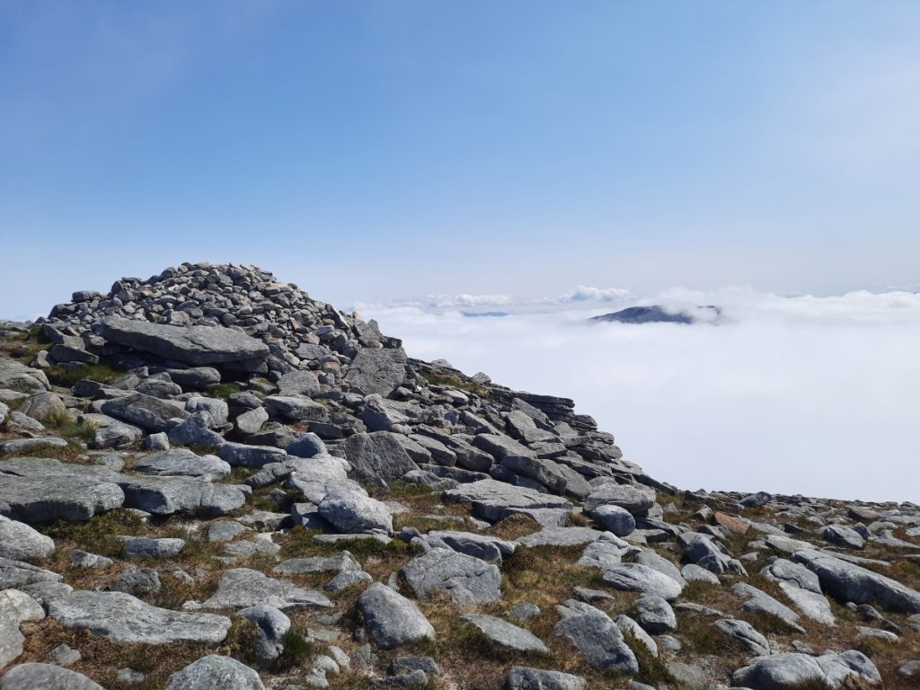
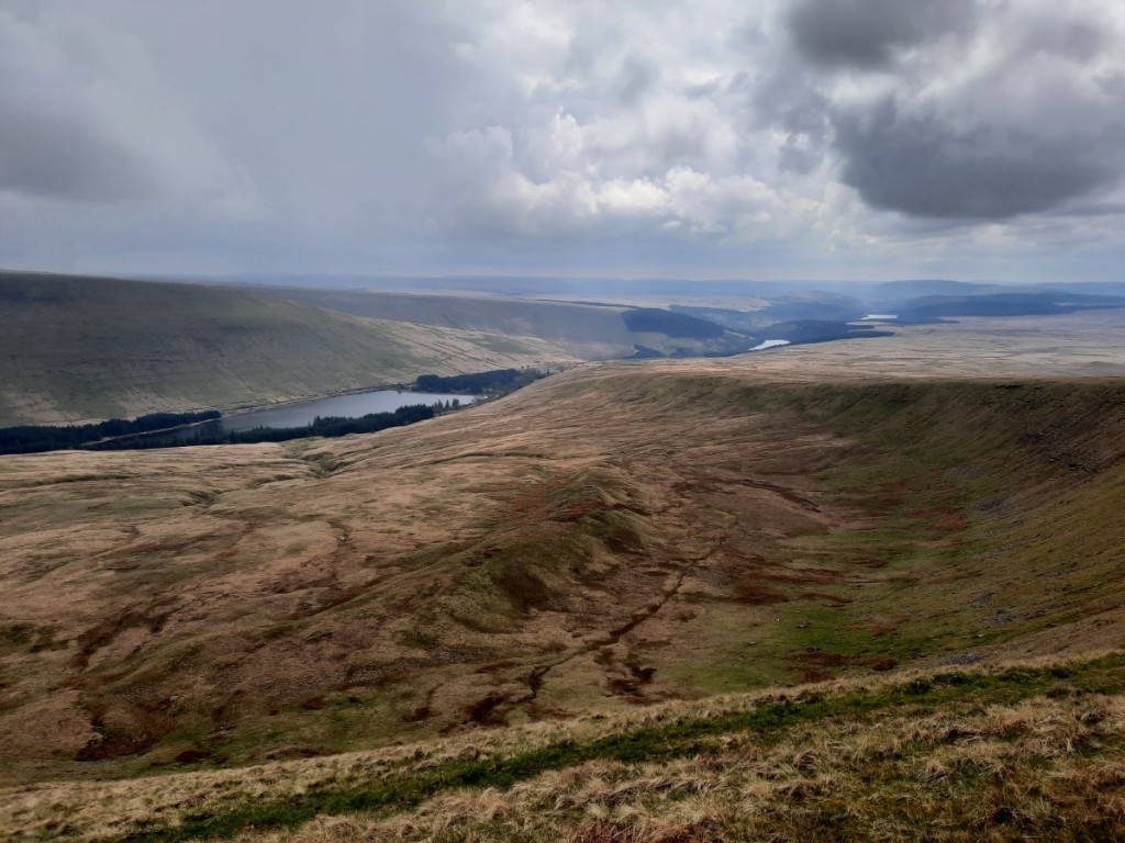
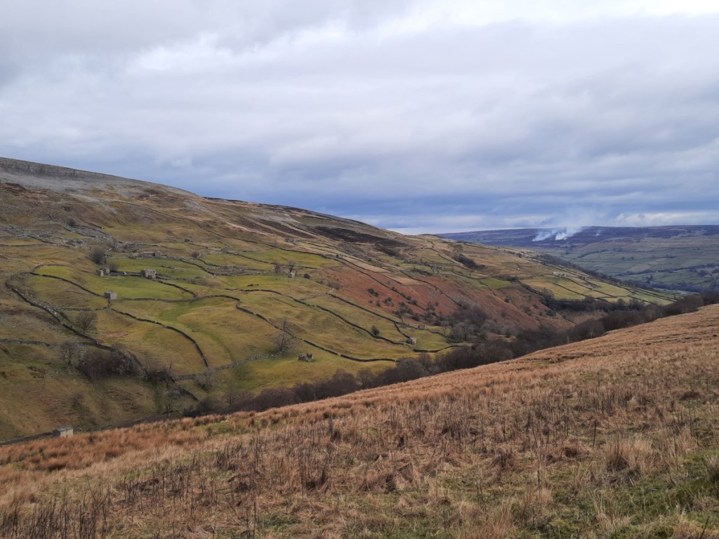
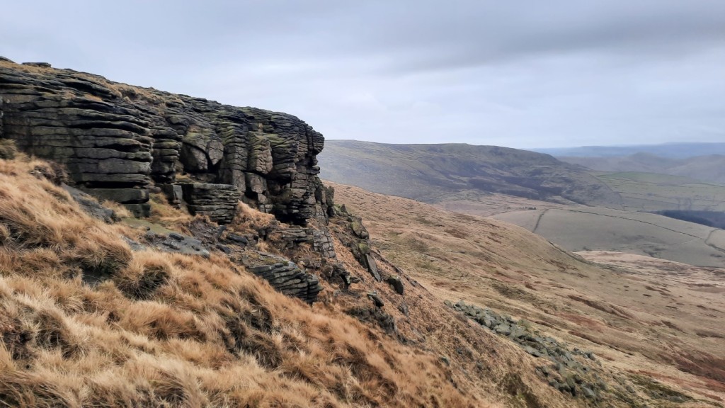
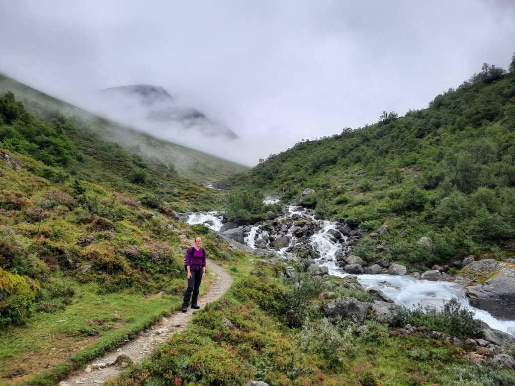
Over Thursday and Friday, we did a one night trip up to the DNT (Norwegian Trekking Association) hut at the summit of Skåla, a little further north in the Jostedalsbreen National Park. Although the forecast was mostly dry, the cloud was sadly not expected to be clear of the summits, but it seemed a worthy destination anyway. The walk up was only 9km (and 1800m ascent!) so we had a leisurely start to the day, pottering up Lodalen in the car. We found some free parking a short distance below the expensive main car park above Loen, and set off through the woods on another very well-made footpath up Fosdalen, beside attractive cascades on the river.
After lunch, we continued up the zigzags to the small lake of Skålavatnet, entering the cloud at around 1000m, then on up to the ridge for the final ascent to the summit. We found a light covering of fresh snow above 1600m, and one large snow patch, but the path was still easy to follow. Soon the shapes of the twin mountain huts emerged in the mist on the summit of Skåla (1843m). We had a look around the older one, Skålatarnet, in a circular tower, first, then settled on the newer and more spacious and comfortable Skålabu as our home for the night.
Route map: https://www.plotaroute.com/route/2352474


Initially we had the place to ourselves. Seven others in three groups arrived over the course of the early evening to give us company, but that was still not enough to need to share a dormitory. The wood fire did a great job of heating the cabin throughout, and the meltwater from the roof collected into a tank for a convenient drinking water supply. We spent the evening drinking tea and cooking our dinner, and then playing Yahtzee – a ubiquitous presence in all DNT huts!
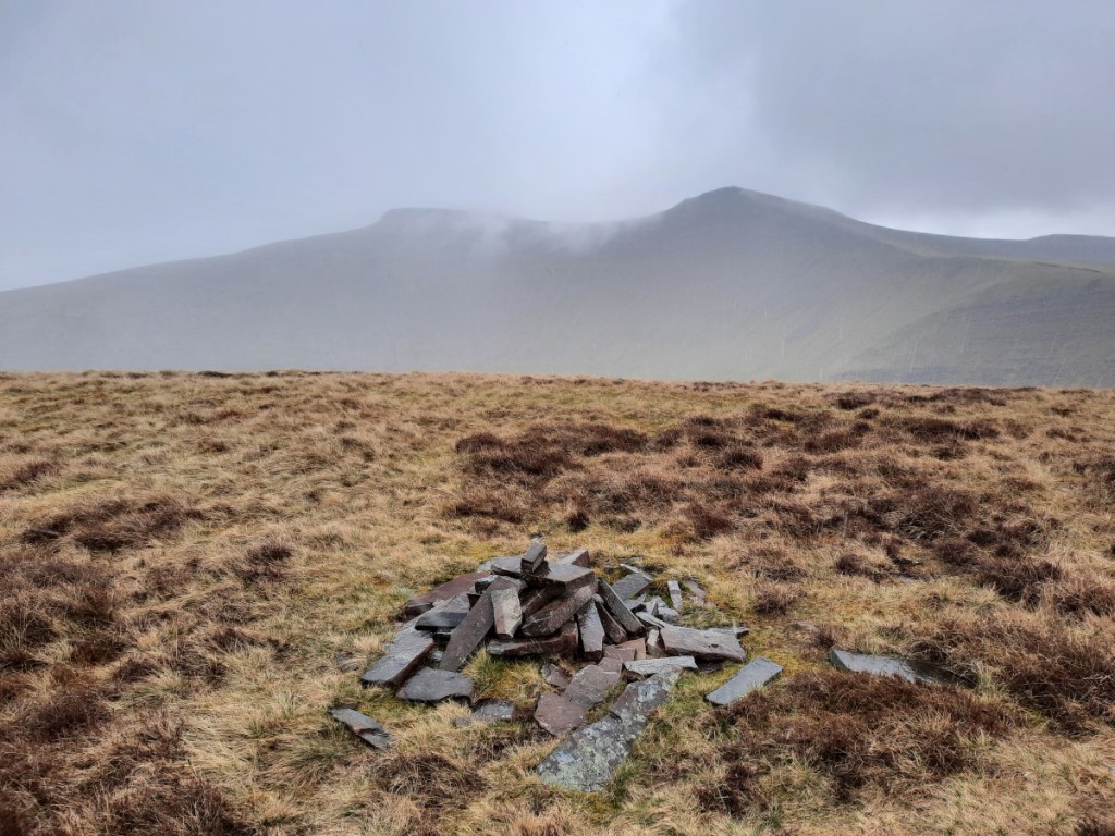
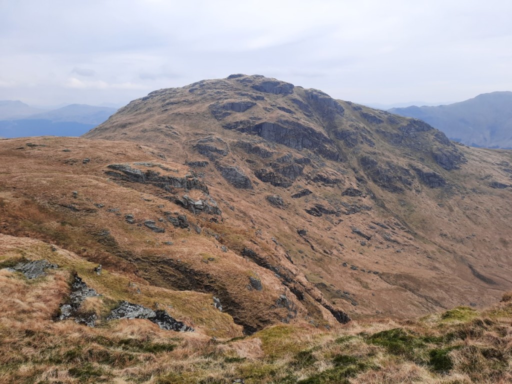
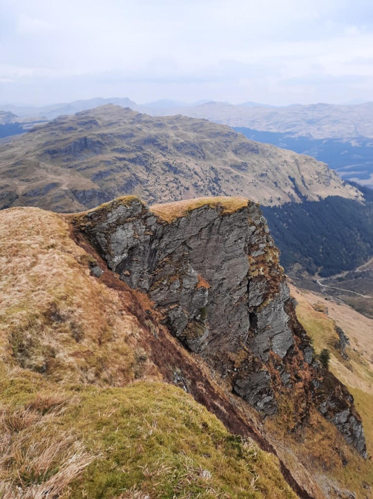
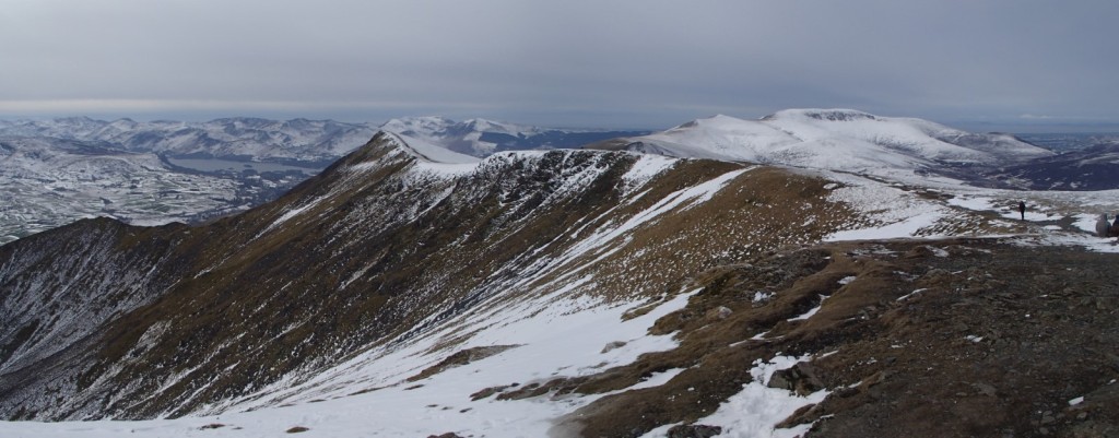
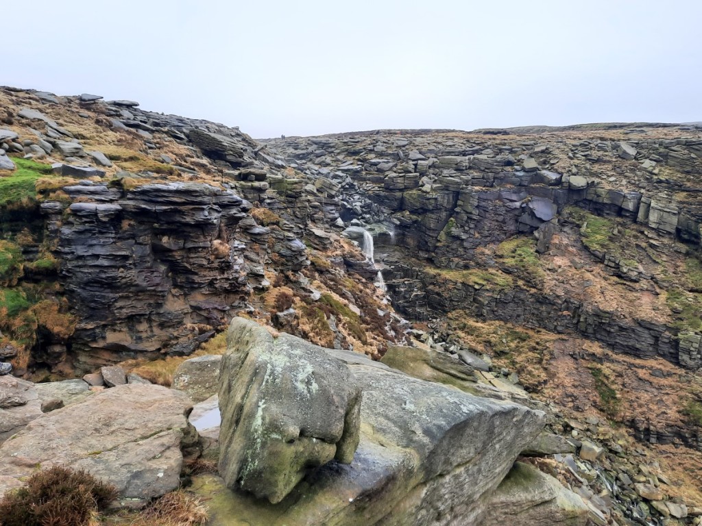
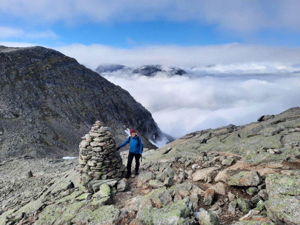
The forecast for Friday did show the mist eventually clearing around noon but, with a fair drive to do after our walk down, we didn’t feel we could hang around long enough to enjoy that. We started by heading along the ridge towards the twin summit of Stryneskåla, initially a broad rocky ridge. Further on, it narrowed into an arete with a huge, steep snowbank on the right hand side and cliffs to the left. We continued along for a bit before reaching a section that was too exposed for our comfort without ropes or ice axes to continue either on rock or on snow – in sight of the eastern summit but too tricky in those conditions. Photos from other years had shown much less snow on the route!

The descent back to Loen was straighforward, the mist starting to break up as we got to around 1200m to leave an inversion over Lodalen and sunny spells for the remainder. It didn’t look like the summit of Skåla had consistently cleared before we got to the valley though.
Route map: https://www.plotaroute.com/route/2352475

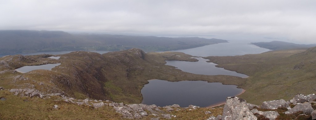
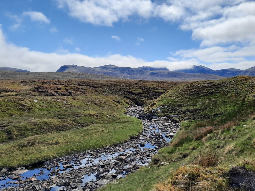
Discussions in the hut over breakfast had alerted us to the fact that most of the roads in southeastern Norway, where we planned to go next, were actually closed following the deluge of Storm Hans, which had brought the wettest day in that area for 50 years. Looking at all the possible routes, it seemed that there was no viable route to Dombas / Snøhetta, all being closed due to flooding, landslide or a high risk of landslide! We therefore contemplated our other options for a bit, and decided initially to head west to the islands of Gurskøy and Runde, where we could explore the coast for a day and make a revised plan for our second week.
The drive to Runde was quite a dramatic one, going through Norway’s second deepest tunnel to reach the island of Hareid, then crossing a series of bridges and causeways to Gurskøya, Leinøya, Remøya and finally Runde, where the basic campsite is located right at the end of the road in the hamlet of Goksøyr. The owners were quite apologetic about the wetness of the ground after the storm, but I’ve camped on much worse in the Lake District and Scotland!
After dinner and showers, we took a stroll up the cliff path to admire the view over the sea then spent some time looking at the online maps to plan a new itinerary that avoided floods and landslides! It seemed best to stay in the west of the country, even though it was disappointing not to visit Snøhetta, Rondane and Jotunheimen as we had hoped.
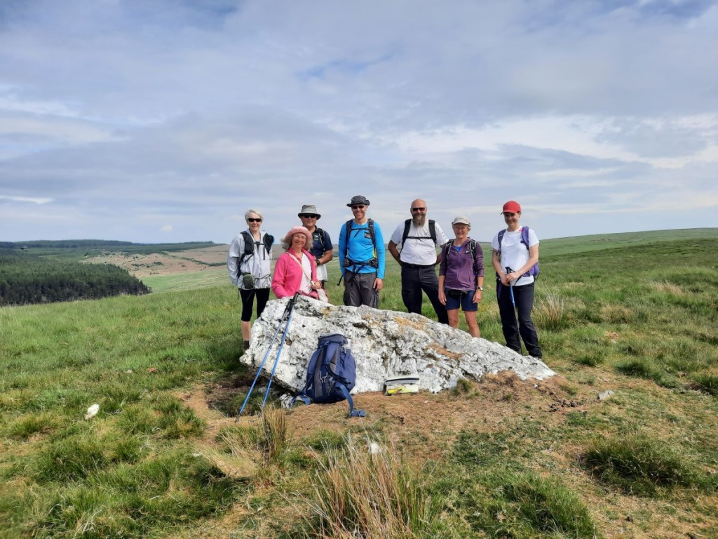
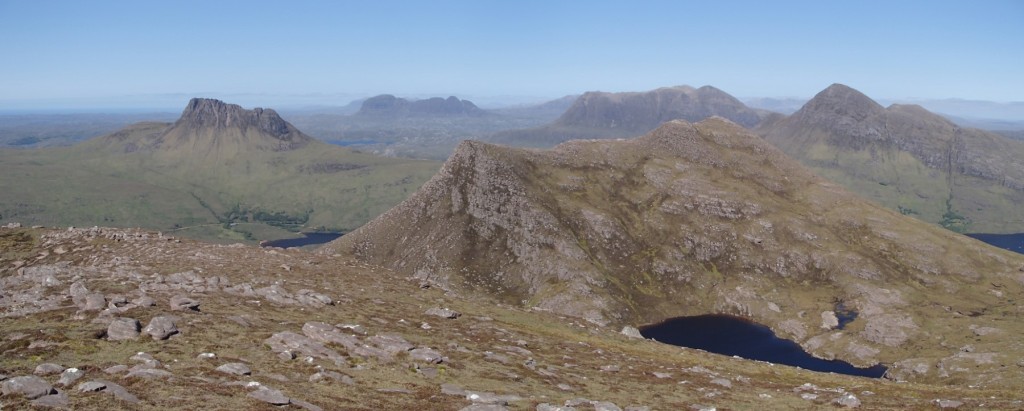
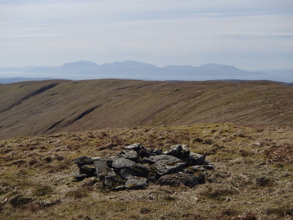
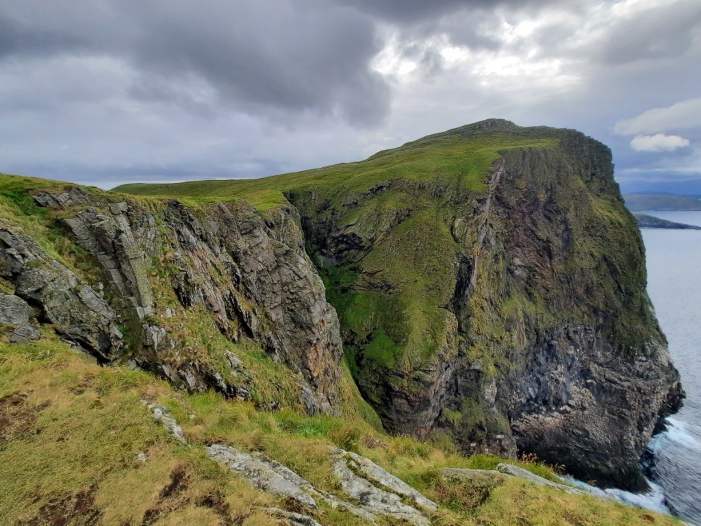
We started Saturday with a run around the trail that had been recommended to us by the campsite owners. Most visitors to the island are there to see the seabird colonies, and there were quite a few others following the same route. The run involved two steep climbs: up from the campsite from the cliffs, then down to the lighthouse and DNT hut at the northern tip, then back up to the cliffs and the hilltop of Rundabranden, before the final descent back to Goksøyr. There were indeed lots of gannets on the cliffs either side of Rundabranden, but I didn’t spot any skuas on the moorland, and we were too late in the year for puffins. The coastline was pretty dramatic though, and there were great views of the surrounding islands and pointy peaks on the coast of the mainland.
Route map: https://www.plotaroute.com/route/2352482

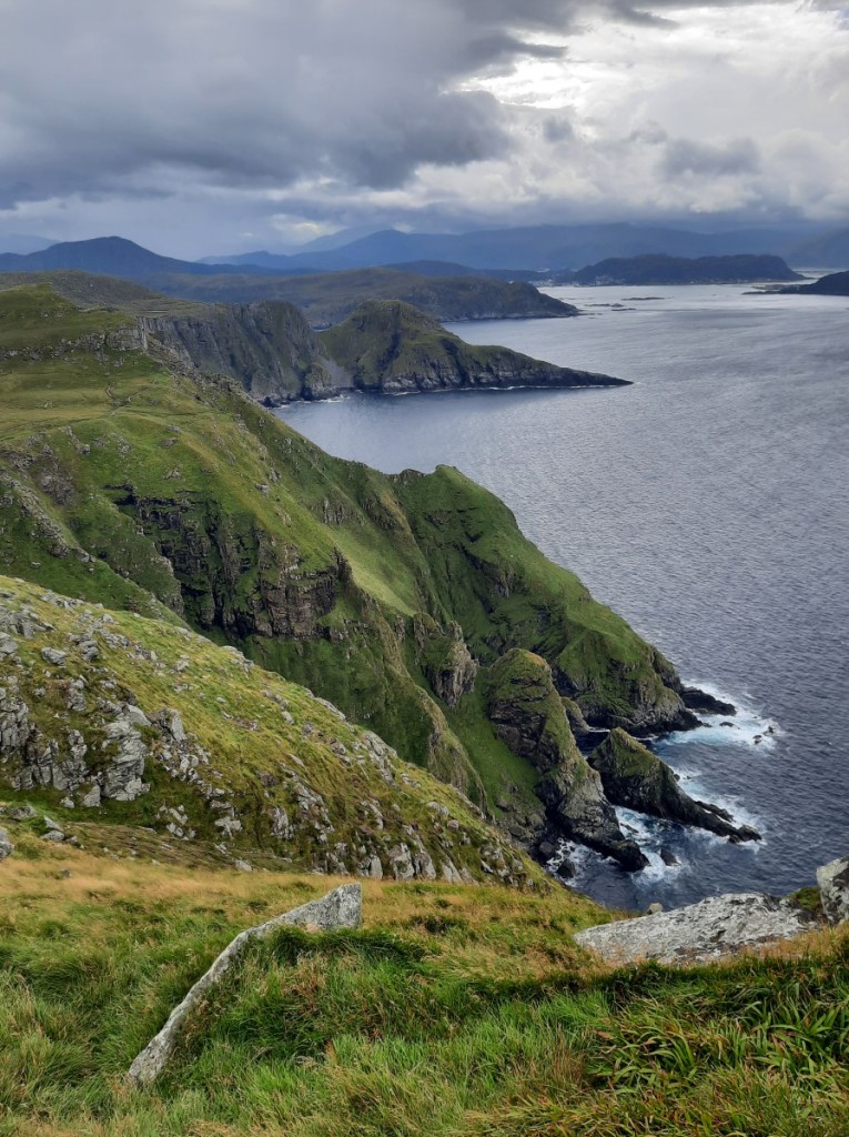
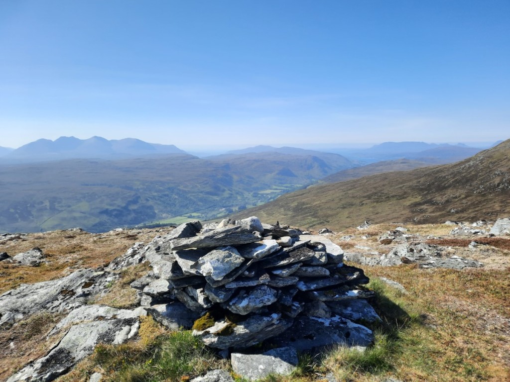
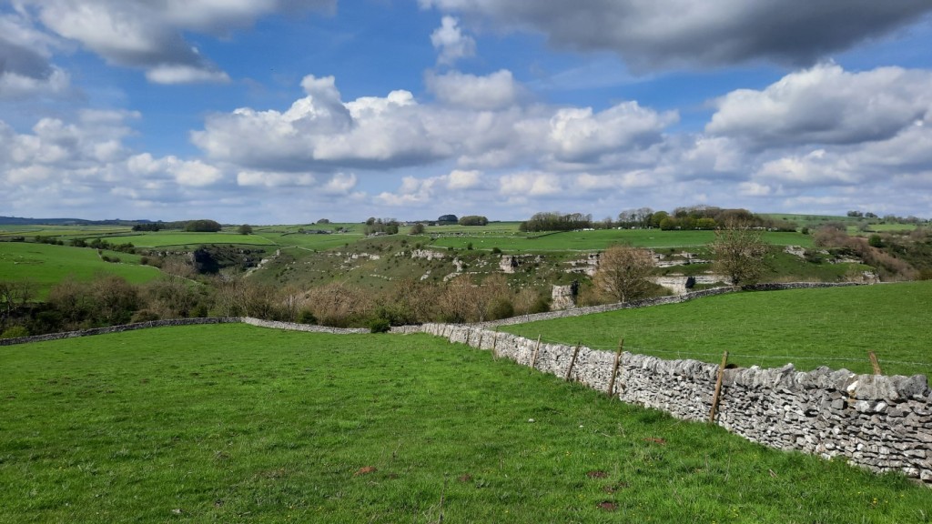
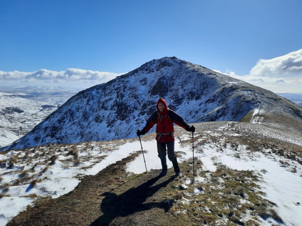
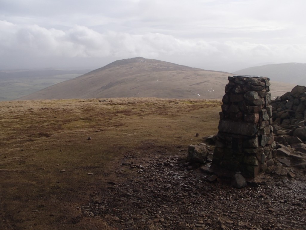
After our run, we got changed and broke camp before driving back along the island chain to Gurskøya, where we had identified a walk that looked good above the southern cliffs. We parked at Voldneset and followed the well-marked trail fairly steeply up through the woods then moorland to the summit of Laupsnipa (562m) giving excellent views over the coastal fjords in the sunshine. After exploring a little further west along the ridge, we returned to the car by the same route and set off on our drive south to our next destination.
Route map: https://www.plotaroute.com/route/2352485


You can find my full photo album on Google Photos here.
To be continued… Week 2 blog here!